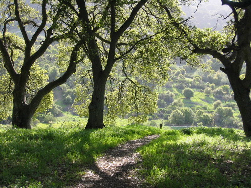
Monta Vista, Cupertino
Map
Gallery
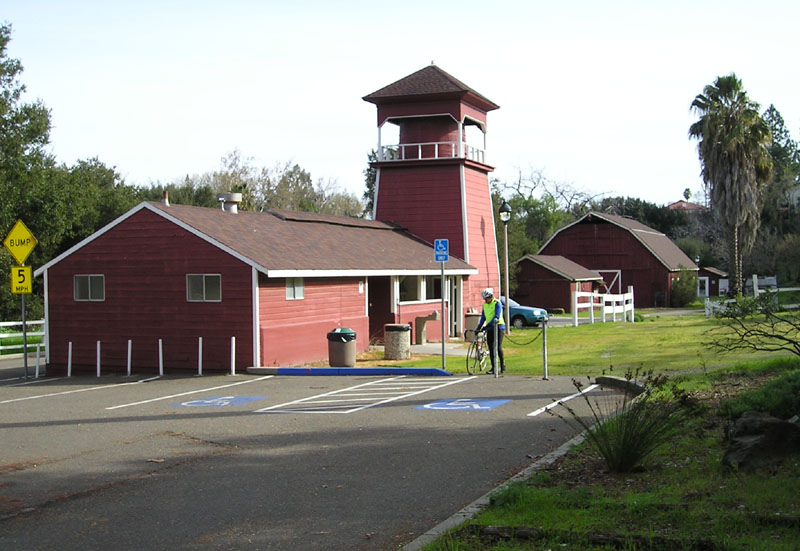
Facts and practical information
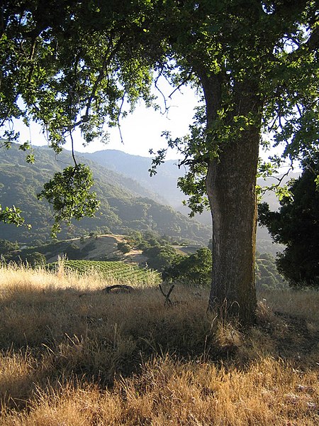
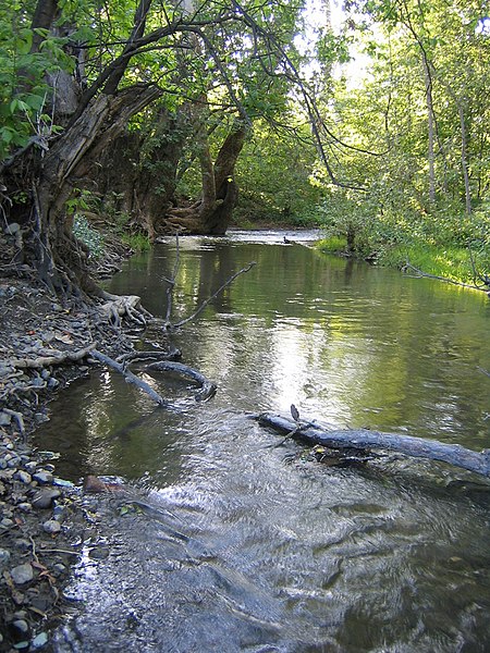
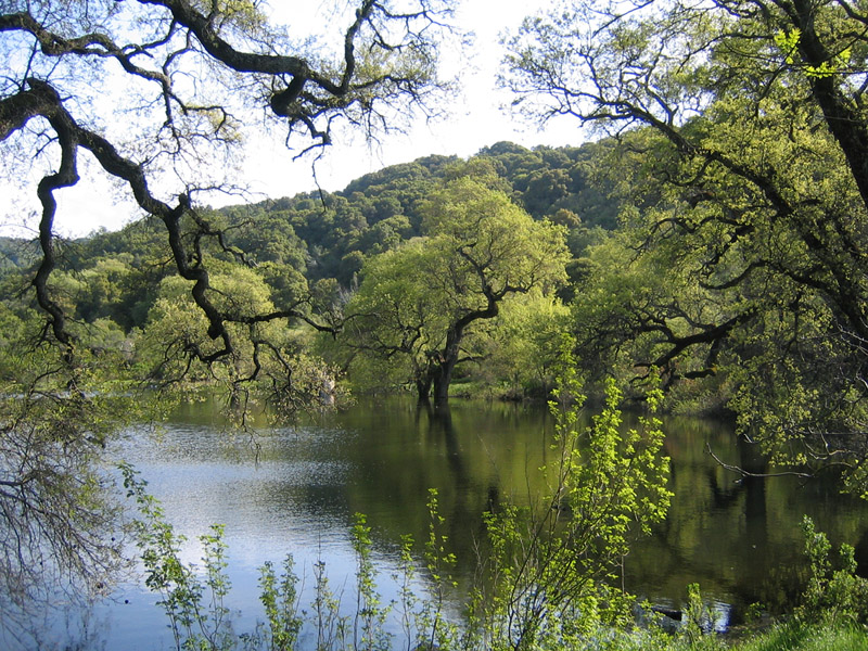
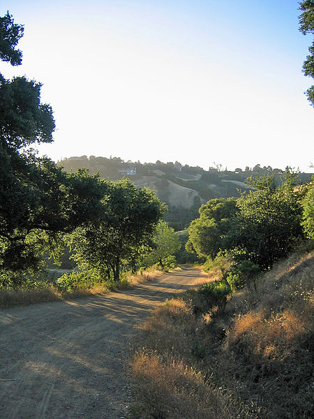
Monta Vista is an upper-income residential neighborhood in western Cupertino, California, the 11th wealthiest city with a population over 50,000 in the United States. "Monta Vista" means "mountain view" in Portuguese and is very similar to "Monte Vista," which means "mountain view" in Spanish. However, it is not affiliated with the nearby city of Mountain View. ()
Coordinates: 37°19'22"N, 122°3'29"W
Address
Cupertino (Westside)Cupertino
ContactAdd
Social media
Add
Day trips
Monta Vista – popular in the area (distance from the attraction)
Nearby attractions include: De Anza College, California History Center, Deep Cliff Golf Course, Mary Avenue Bridge.
Frequently Asked Questions (FAQ)
Which popular attractions are close to Monta Vista?
Nearby attractions include California History Center, Cupertino (16 min walk), McClellan Ranch Park, Cupertino (18 min walk), De Anza College, Cupertino (20 min walk), Memorial Park, Cupertino (21 min walk).
How to get to Monta Vista by public transport?
The nearest stations to Monta Vista:
Bus
Bus
- Stevens Creek Boulevard & Mann Drive • Lines: 51 (3 min walk)


