Taggart Lake Trail, Grand Teton National Park
Map
Facts and practical information
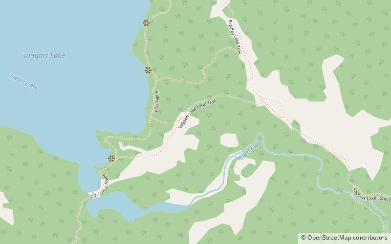
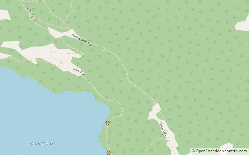
The Taggart Lake Trail is a 3-mile long round-trip hiking trail in Grand Teton National Park in the U.S. state of Wyoming. The trail is accessed from the Taggart Lake trailhead and provides access to Taggart Lake, with views of the lake and the Teton Range. At Taggart Lake, the trail intercepts the Valley Trail which heads north towards Bradley Lake or south to Death Canyon. Using the Valley Trail and the Bradley Lake Trail, a loop hike starting from the Taggart Lake Trailhead is 5.9 mi long. ()
Length: 3 miMaximum elevation: 6950 ftMinimal elevation: 6625 ftCoordinates: 43°42'7"N, 110°44'53"W
Address
Grand Teton National Park
ContactAdd
Social media
Add
Day trips


Frequently Asked Questions (FAQ)
Which popular attractions are close to Taggart Lake Trail?
Nearby attractions include Taggart Lake, Grand Teton National Park (10 min walk), Bradley Lake, Grand Teton National Park (23 min walk).