Wayah Bald, Franklin

Gallery (6)
Map

Map

Gallery
Facts and practical information
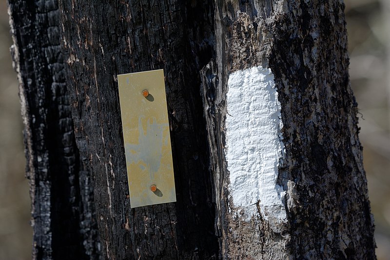
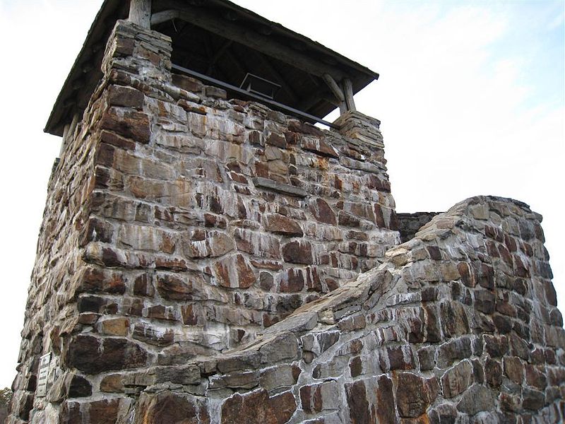
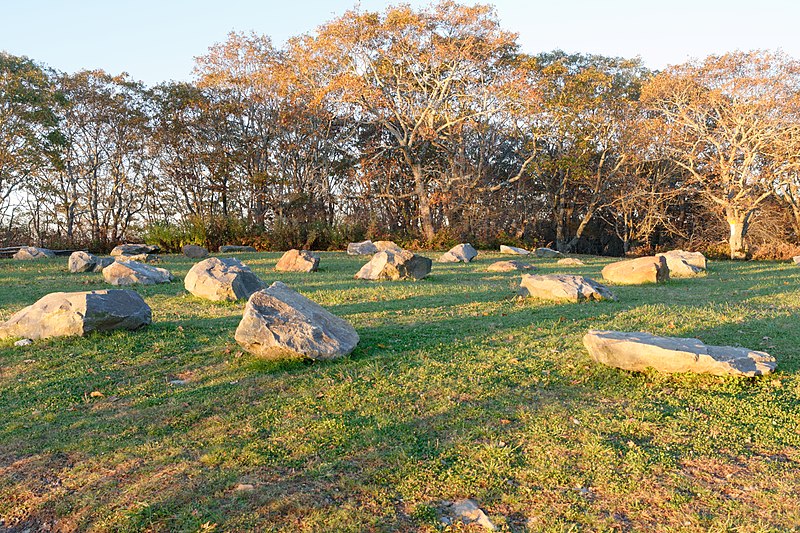
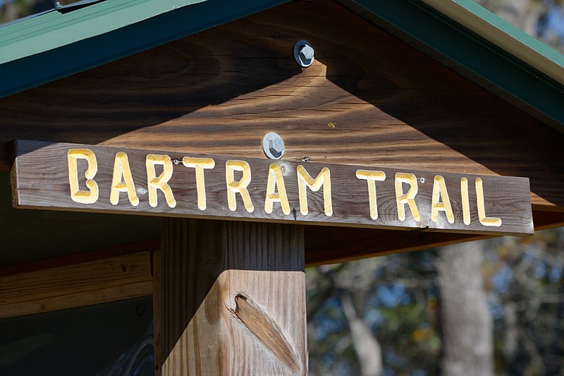
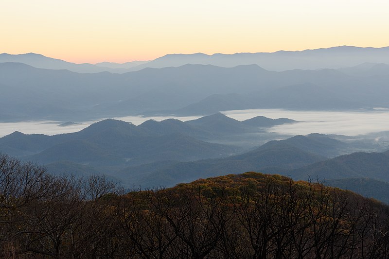
Wayah Bald is a high-altitude treeless open area in Nantahala National Forest, near Franklin, North Carolina. The Wayah Bald Observation Tower is located at the area's highest point; the stone observation tower was built by the Civilian Conservation Corps in 1937 for fire detection. The Appalachian Trail and Bartram Trail cross at Wayah Bald. ()
Coordinates: 35°10'49"N, 83°33'37"W
Address
Franklin
ContactAdd
Social media
Add
Day trips
Wayah Bald – popular in the area (distance from the attraction)
Nearby attractions include: Nantahala National Forest.
