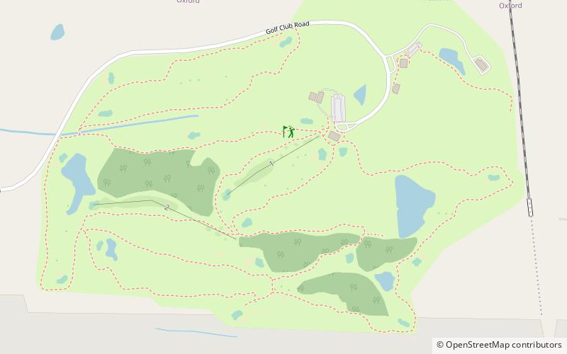
The Ole Miss Golf Course, Oxford

Gallery (1)
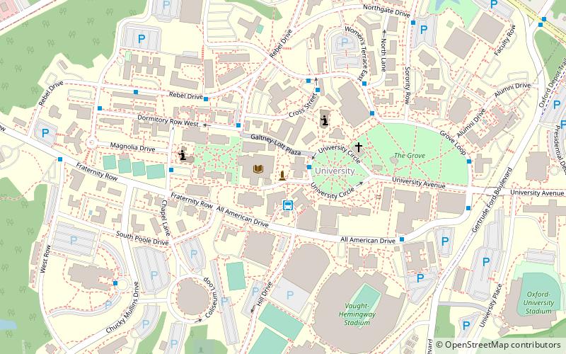
Map
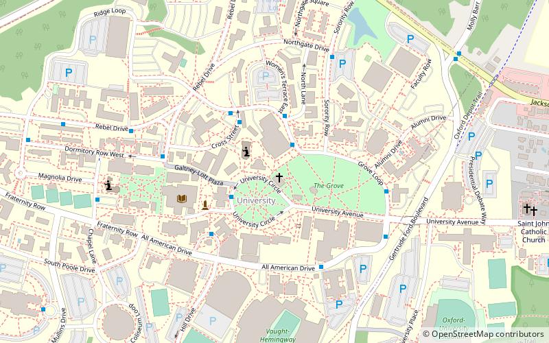
Map
Facts and practical information
The Ole Miss Golf Course (address: 147 Golf Club Rd) is a place located in Oxford (Mississippi state) and belongs to the category of golf.
It is situated at an altitude of 381 feet, and its geographical coordinates are 34°23'21"N latitude and 89°31'58"W longitude.
Among other places and attractions worth visiting in the area are: Center for the Study of Southern Culture (museum, 39 min walk), Lucius Q. C. Lamar House (museum, 40 min walk), Barnard Observatory (museum, 41 min walk).
Coordinates: 34°23'21"N, 89°31'58"W
Day trips