Firstside Historic District, Pittsburgh
Map

Map

Facts and practical information
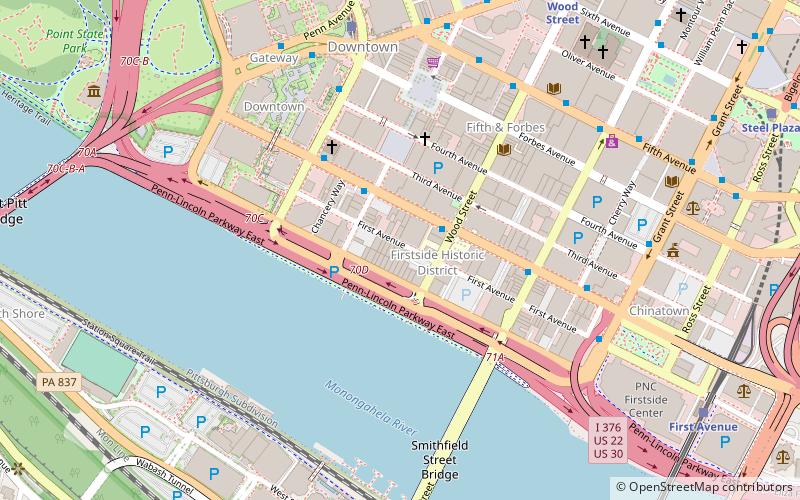
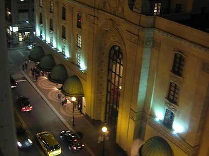
The Firstside Historic District is a historic district in downtown Pittsburgh, Pennsylvania, United States. The district was listed on the National Register of Historic Places on July 28, 1988, and its boundaries were expanded on May 8, 2013. ()
Coordinates: 40°26'17"N, 80°0'11"W
Address
Central Pittsburgh (Downtown Pittsburgh)Pittsburgh
ContactAdd
Social media
Add
Day trips
Firstside Historic District – popular in the area (distance from the attraction)
Nearby attractions include: PNC Park, Highmark Stadium, PPG Place, Benedum Center.
Frequently Asked Questions (FAQ)
Which popular attractions are close to Firstside Historic District?
Nearby attractions include The Carlyle, Pittsburgh (4 min walk), Diocese of Pittsburgh, Pittsburgh (4 min walk), Investment Building, Pittsburgh (4 min walk), Fort Pitt Boulevard, Pittsburgh (4 min walk).
How to get to Firstside Historic District by public transport?
The nearest stations to Firstside Historic District:
Bus
Light rail
Train
Bus
- Boulevard of the Allies at Wood St • Lines: Metro Commuter (2 min walk)
- Blvd of the Allies at Stanwix Street • Lines: 3 (4 min walk)
Light rail
- Wood Street • Lines: Blue, Red, Silver (9 min walk)
- First Avenue • Lines: Blue, Red, Silver (10 min walk)
Train
- Pittsburgh Union Station (20 min walk)


