Kentucky Hollow, Mark Twain National Forest

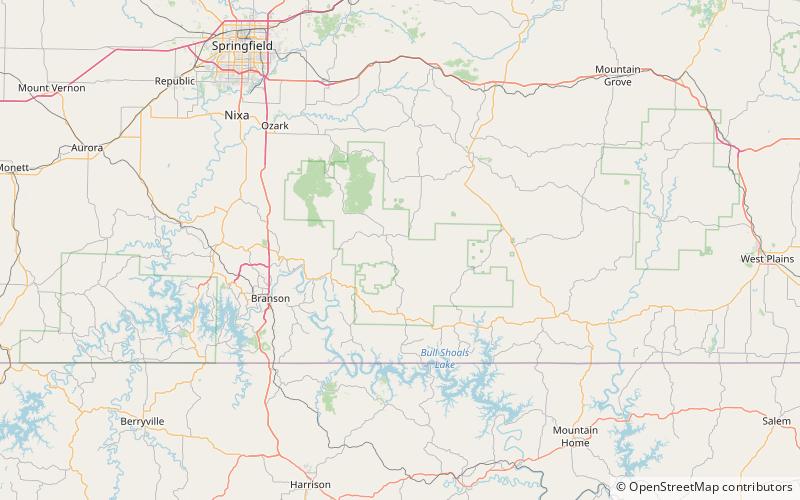
Map
Facts and practical information
Kentucky Hollow is a stream valley in northeastern Taney County in the Ozarks of southern Missouri. The stream is a northwest flowing tributary to Beaver Creek. Its confluence with Beaver is 1.5 miles east of Bradleyville. The stream is bridged by Missouri Route 76 about one half mile south of the confluence. The stream is within the Mark Twain National Forest. ()
Coordinates: 36°44'52"N, 92°51'43"W
Address
Mark Twain National Forest
ContactAdd
Social media
Add
Day trips
Kentucky Hollow – popular in the area (distance from the attraction)
Nearby attractions include: Hercules Glades Wilderness, Roller Hollow.

