Sawtooth Valley, Sawtooth National Recreation Area
Map
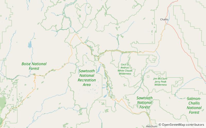
Map

Facts and practical information
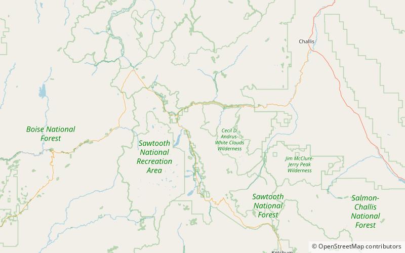
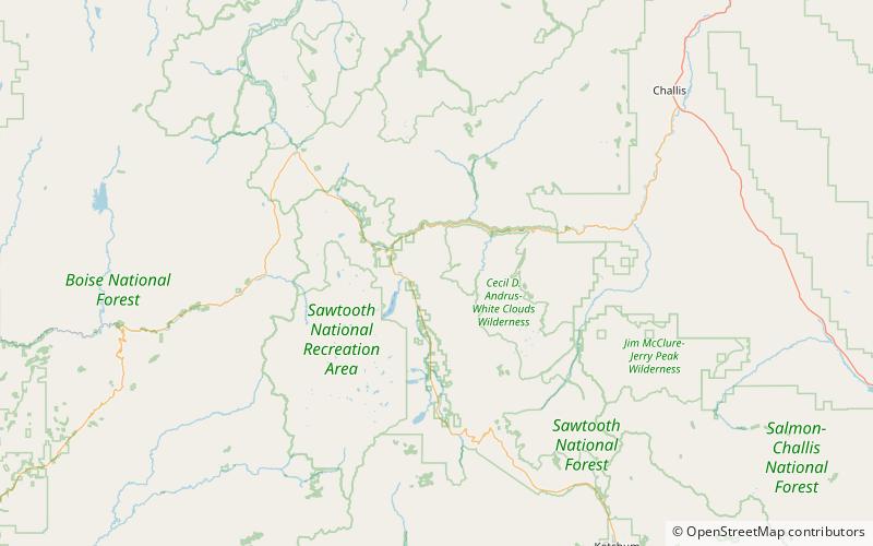
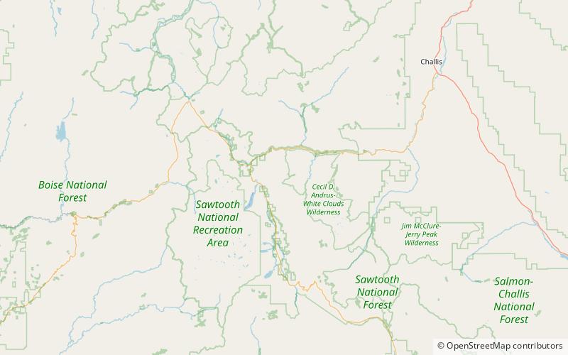
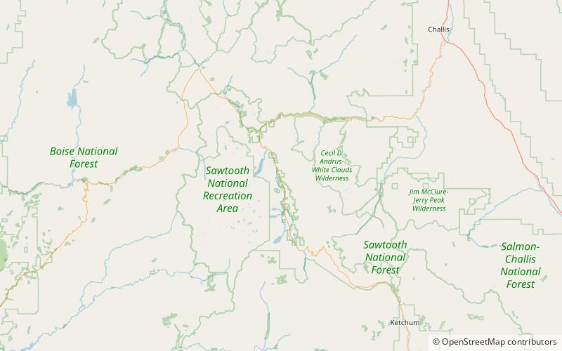
The Sawtooth Valley is a valley in the Western United States, in Blaine and Custer counties of central Idaho. About 30 miles long, it is in Sawtooth National Recreation Area in the Sawtooth National Forest. It is surrounded by the Sawtooth Mountains to the west, White Cloud Mountains to the east, Salmon River Mountains to the north, and Boulder and Smoky Mountains to the south. The valley contains the headwaters of the Salmon River, the city of Stanley, and community of Sawtooth City. ()
Length: 30 miWidth: 10 miCoordinates: 44°9'47"N, 114°53'2"W
Address
Sawtooth National Recreation Area
ContactAdd
Social media
Add
Day trips
Sawtooth Valley – popular in the area (distance from the attraction)
Nearby attractions include: Little Redfish Lake, Redfish Lake, Mount Heyburn, Lily Lake.


