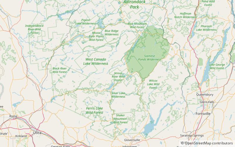
Mays Pond, Jessup River Wild Forest
Map
Facts and practical information
Mays Pond is a lake located west of Raquette Lake, New York. Fish species present in the lake are black bullhead, and sunfish. There is trail access on the east shore. The west shore is privately owned. No motors are allowed on this pond. ()
Maximum depth: 17 ftElevation: 1670 ft a.s.l.Coordinates: 43°29'30"N, 74°29'25"W
Address
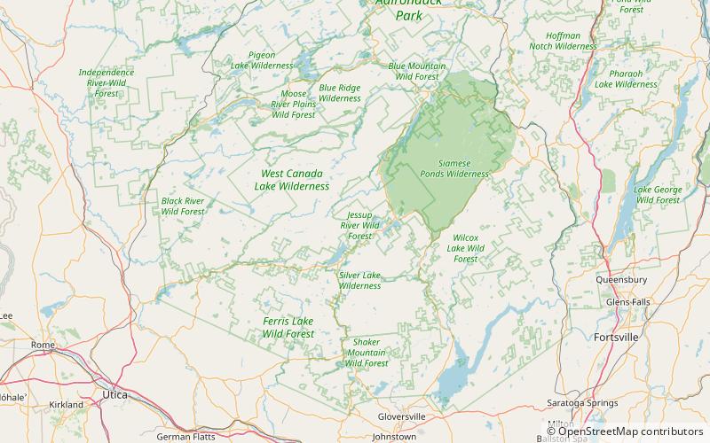
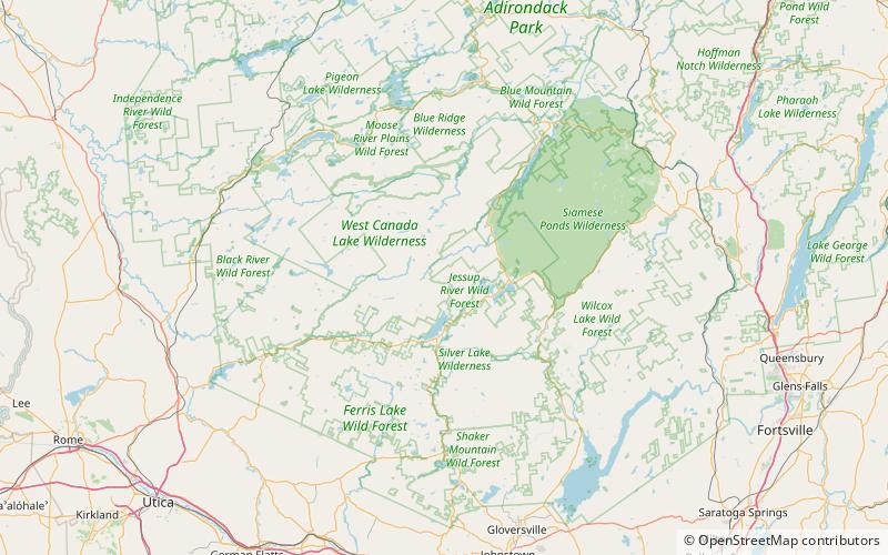
Jessup River Wild Forest
ContactAdd
Social media
Add
Day trips


Frequently Asked Questions (FAQ)
Which popular attractions are close to Mays Pond?
Nearby attractions include Cascade Lake, Jessup River Wild Forest (16 min walk), Russian Lake, Jessup River Wild Forest (23 min walk).