Prestonwood Town Center, Dallas
Map

Map

Facts and practical information
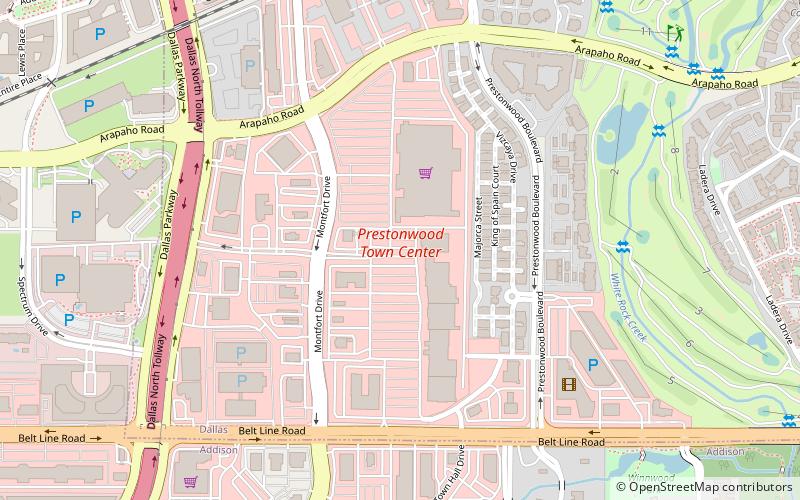
Prestonwood Town Center was a two-level enclosed shopping mall located at the northeast corner of Belt Line Road and Montfort Drive in Dallas, Texas that opened in 1979 and was demolished in 2004. It was replaced by a 62-acre retail shopping center of the same name that opened in 2006. The center includes Barnes & Noble, DSW, Michaels, Office Depot, Petco, Ulta Beauty, and Walmart as well as various restaurants and services. ()
Coordinates: 32°57'27"N, 96°49'0"W
Address
Far North DallasDallas
ContactAdd
Social media
Add
Day trips
Prestonwood Town Center – popular in the area (distance from the attraction)
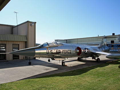
Nearby attractions include: Galleria Dallas, The Shops at Willow Bend, Cavanaugh Flight Museum, Valley View Mall.
Frequently Asked Questions (FAQ)
Which popular attractions are close to Prestonwood Town Center?
Nearby attractions include Blueprints at Addison Circle, Addison (16 min walk), Inwood Soccer Center, Addison (24 min walk).
How to get to Prestonwood Town Center by public transport?
The nearest stations to Prestonwood Town Center:
Bus
Bus
- Addison Transit Center (18 min walk)


