Las Vegas Range, Desert National Wildlife Refuge
Map

Map

Facts and practical information
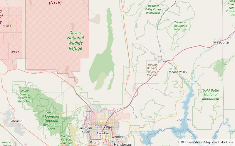
The Las Vegas Range is an arid mountain range in Clark County, Nevada. The range is located in the southeast of the Desert National Wildlife Refuge. ()
Maximum elevation: 6943 ftElevation: 6943 ftCoordinates: 36°34'17"N, 115°2'10"W
Address
Desert National Wildlife Refuge
ContactAdd
Social media
Add
Day trips
Las Vegas Range – popular in the area (distance from the attraction)
Nearby attractions include: Mormon Well Spring.

