Fishermen's and Seamen's Chapel, San Francisco

Facts and practical information
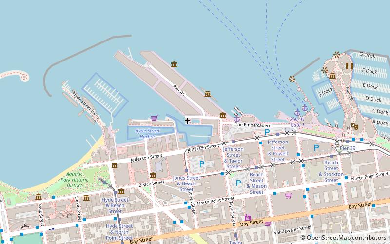
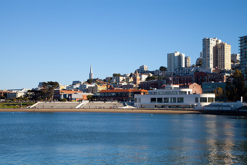
Fishermen's and Seamen's Chapel (address: 45 Pier) is a place located in San Francisco (California state) and belongs to the category of church.
It is situated at an altitude of 3 feet, and its geographical coordinates are 37°48'32"N latitude and 122°25'1"W longitude.
Planning a visit to this place, one can easily and conveniently get there by public transportation. Fishermen's and Seamen's Chapel is a short distance from the following public transport stations: Jefferson Street & Taylor Street (bus, 3 min walk), Jefferson Street & Taylor Street (tram, 3 min walk), Columbus Avenue & Bay Street (trolleybus, 7 min walk), Pier 41 Gate 1 (ferry, 7 min walk), Embarcadero (metro, 40 min walk), Embarcadero (light rail, 40 min walk).
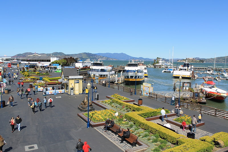
Among other places and attractions worth visiting in the area are: Musee Mecanique (museum, 2 min walk), Fisherman's Wharf (neighbourhood, 2 min walk), USS Pampanito (ship, 3 min walk).
45 PierNortheast San Francisco (Fishermans Wharf)San Francisco
- Metro
- Bus
- Trolleybus
- Tram
- Light rail
- Ferry
 Metro
Metro
- Calculate routeJefferson Street & Taylor Street 3 min walk
- Calculate routeJones Street & Beach Street 3 min walk
- Calculate routeBeach Street & Taylor Street 4 min walk
- Calculate routeJefferson Street & Taylor Street 3 min walk
- Calculate routeJones Street & Beach Street 4 min walk
- Calculate routeBeach Street & Mason Street 5 min walk
- Calculate routeColumbus Avenue & Bay Street 7 min walk
- Calculate routeNorth Point Street & Hyde Street 8 min walk
- Calculate routePier 41 Gate 1 7 min walk
- Calculate routePier 41 Gate 2 7 min walk
- Calculate routeEmbarcadero 40 min walk
- Calculate routeEmbarcadero 40 min walk
 Muni Metro
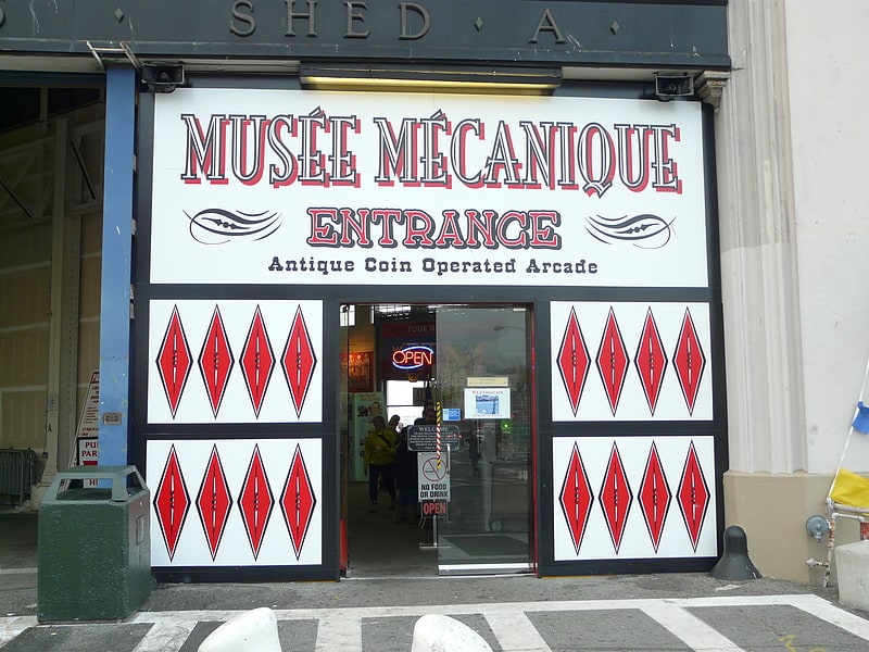


Frequently Asked Questions (FAQ)
Which popular attractions are close to Fishermen's and Seamen's Chapel?
How to get to Fishermen's and Seamen's Chapel by public transport?
Bus
- Jefferson Street & Taylor Street • Lines: L-Owl (3 min walk)
- Jones Street & Beach Street • Lines: L-Owl (3 min walk)
Tram
- Jefferson Street & Taylor Street • Lines: F (3 min walk)
- Jones Street & Beach Street • Lines: F (4 min walk)
Trolleybus
- Columbus Avenue & Bay Street • Lines: 30 (7 min walk)
- North Point Street & Hyde Street • Lines: 30 (8 min walk)
Ferry
- Pier 41 Gate 1 • Lines: Blue & Gold Fleet (7 min walk)
- Pier 41 Gate 2 • Lines: Blue & Gold Fleet, San Francisco Bay Ferry (7 min walk)
Metro
- Embarcadero • Lines: Blue, Green, Red, Yellow (40 min walk)
Light rail
- Embarcadero • Lines: K, N, S, T (40 min walk)