Mickey's Golf Range, Westland
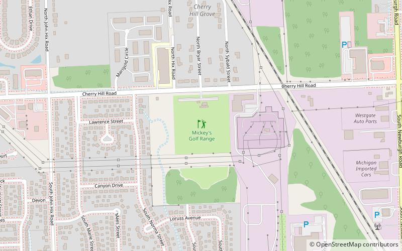
Map

Map

Facts and practical information
Mickey's Golf Range is a place located in Westland (Michigan state) and belongs to the category of golf.
It is situated at an altitude of 659 feet, and its geographical coordinates are 42°18'30"N latitude and 83°24'59"W longitude.
Among other places and attractions worth visiting in the area are: Vision Lanes (bowling alley, 30 min walk), Wayne (city, 59 min walk), Westland Mall (shopping, 68 min walk).
Coordinates: 42°18'30"N, 83°24'59"W
Address
WestlandWestland
ContactAdd
Social media
Add
Day trips
Mickey's Golf Range – popular in the area (distance from the attraction)
Nearby attractions include: Westland Mall, Yankee Air Museum, Nankin Mills Nature Center, The Canton Historical Society and Museum.


