Arden Way, Sacramento
Map
Facts and practical information
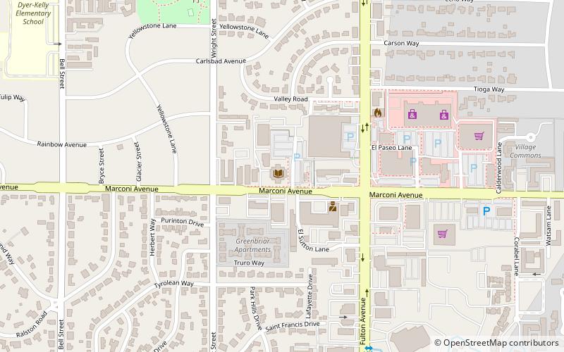
Arden Way is a major east-west arterial in Sacramento County, California in the United States. It is approximately 8 miles long and runs through Sacramento and the unincorporated suburbs of Arden-Arcade and Carmichael. ()
Coordinates: 38°35'21"N, 121°19'48"W
Address
Arden - Arcade (Wilhaggin del Dayo)Sacramento
ContactAdd
Social media
Add
Getting there by public transportation
Public transportation stops near this location
- Bus
- Light rail
- Train
 Bus
Bus
- Calculate routeMather Field/Mills 27 min walk
- Calculate routeMather Field/Mills 27 min walk
- Calculate routeMather Field/Mills 28 min walk
Day trips


Frequently Asked Questions (FAQ)
How to get to Arden Way by public transport?
The nearest stations to Arden Way:
Train
Bus
Light rail
Train
- Mather Field/Mills (27 min walk)
Bus
- Mather Field/Mills (27 min walk)
Light rail
- Mather Field/Mills • Lines: Gold (28 min walk)