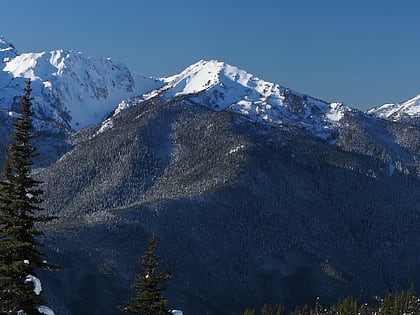
Geyser Valley trail, Olympic National Park
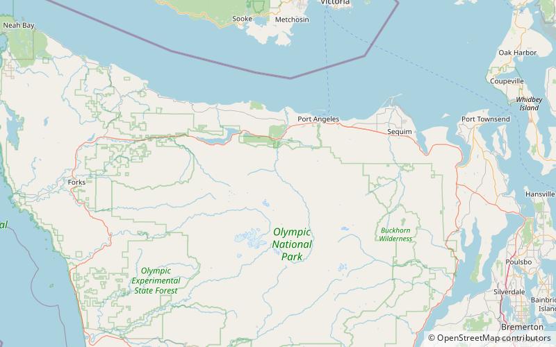
Map

Gallery
Facts and practical information
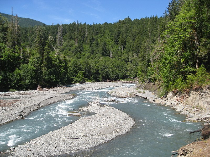
The Geyser Valley trail in Olympic National Park is an area along the Elwha River between Rica Canyon and the Grand Canyon of the Elwha, where many homesteaders tried to eke out a living in the late 19th and early 20th centuries. Today, this trail allows hikers to visit several interesting sites, as well as, providing several loops of different lengths. ()
Coordinates: 47°58'6"N, 123°34'59"W
Address
Olympic National Park
ContactAdd
Social media
Add
Day trips
Geyser Valley trail – popular in the area (distance from the attraction)
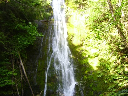
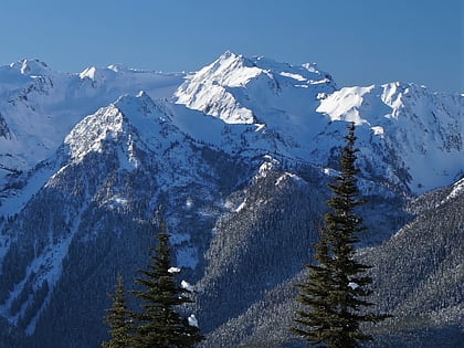
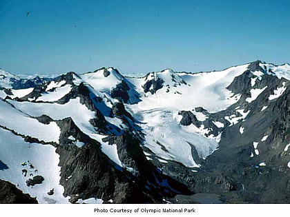
Nearby attractions include: Hurricane Ridge Ski and Snowboard Area, Madison Creek Falls, Mount Fairchild, Mount Carrie.
Frequently Asked Questions (FAQ)
Which popular attractions are close to Geyser Valley trail?
Nearby attractions include Wolf Creek Falls, Olympic National Park (14 min walk), Goblins Gate, Olympic National Park (24 min walk).

