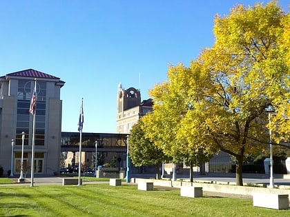
College Square Historic District, Davenport
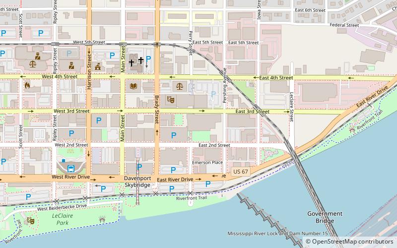
Map
Gallery
Facts and practical information
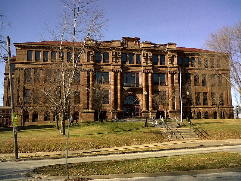
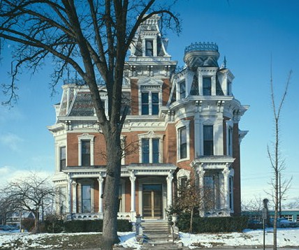
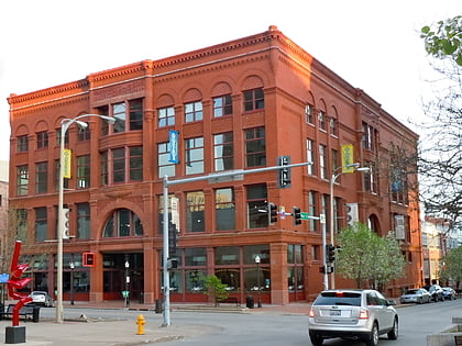
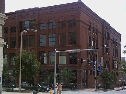
College Square Historic District is a nationally recognized historic district located on a bluff north of downtown Davenport, Iowa, United States. It was listed on the National Register of Historic Places in 1983. The district derives it name from two different colleges that were located here in the 19th century. ()
Coordinates: 41°31'56"N, 90°34'33"W
Address
Central Davenport (College Square)Davenport
ContactAdd
Social media
Add
Day trips
College Square Historic District – popular in the area (distance from the attraction)
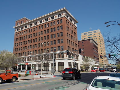
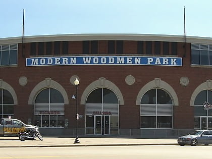
Nearby attractions include: Putnam-Parker Block, J.H.C. Petersen's Sons' Store, Modern Woodmen Park, Davenport RiverCenter.
Frequently Asked Questions (FAQ)
Which popular attractions are close to College Square Historic District?
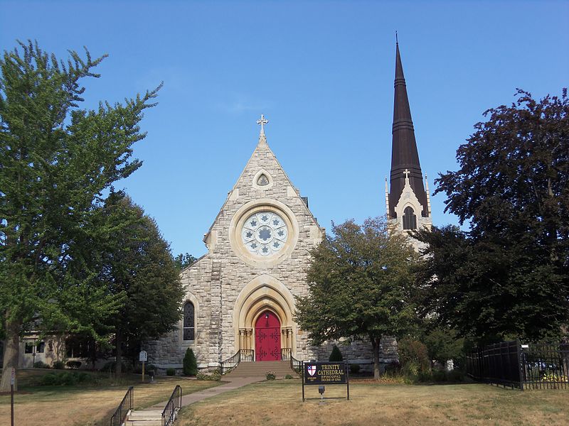
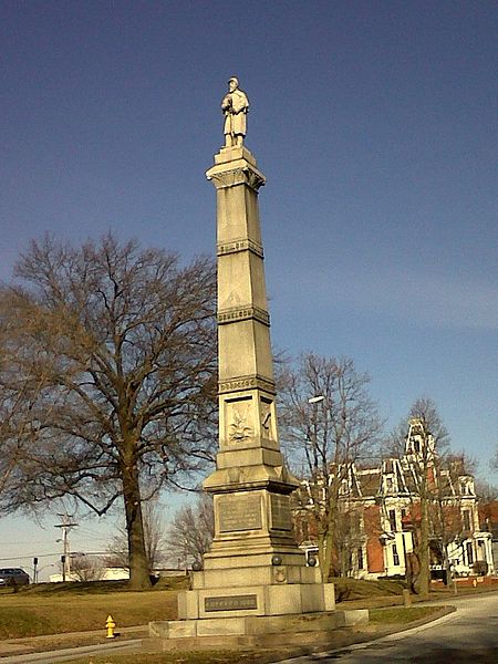
Nearby attractions include Soldier's Monument, Davenport (2 min walk), Trinity Episcopal Cathedral, Davenport (3 min walk), Bethel AME Church, Davenport (4 min walk), St. John's United Methodist Church, Davenport (4 min walk).
How to get to College Square Historic District by public transport?
The nearest stations to College Square Historic District:
Bus
Bus
- Ground Transportation Center (21 min walk)


