Midtown West, Atlanta
Map

Map

Facts and practical information
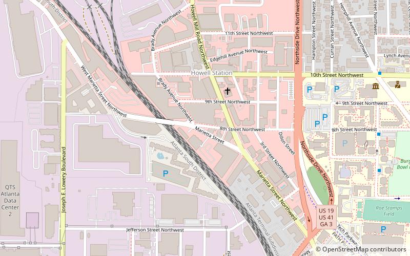
Midtown West is a 12-acre commercial development in West Midtown, Atlanta. It consists of historic warehouse space renovated for use as restaurants, other hospitality and offices. It includes the Brickworks building at the intersection of Howell Mill Rd. and Marietta St. ()
Coordinates: 33°46'47"N, 84°24'41"W
Address
Northeast Atlanta (Marietta Street Artery)Atlanta
ContactAdd
Social media
Add
Day trips
Midtown West – popular in the area (distance from the attraction)
Nearby attractions include: Atlantic Station, Center for Civil and Human Rights, Bobby Dodd Stadium, McCamish Pavilion.
Frequently Asked Questions (FAQ)
Which popular attractions are close to Midtown West?
Nearby attractions include King Plow Arts Center, Atlanta (10 min walk), Blue Mark Studios, Atlanta (10 min walk), Howell Interlocking Historic District, Atlanta (11 min walk), West Midtown, Atlanta (11 min walk).
How to get to Midtown West by public transport?
The nearest stations to Midtown West:
Metro
Bus
Metro
- Bankhead • Lines: Green (29 min walk)
Bus
- Village Smoke • Lines: Blue Route (34 min walk)


