Rhodes Center, Atlanta
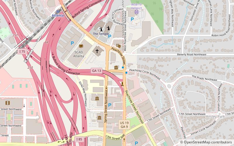
Map
Gallery
Facts and practical information
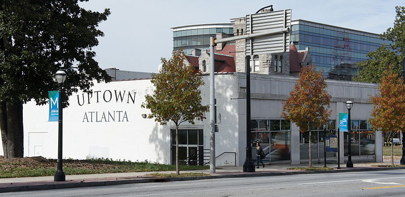
Rhodes Center was Atlanta's first shopping center. It was built in 1937 by architects Ivey and Crook and was one of the largest real estate developments in Atlanta during the Depression. ()
Coordinates: 33°47'44"N, 84°23'18"W
Address
Northeast Atlanta (Midtown)Atlanta
ContactAdd
Social media
Add
Day trips
Rhodes Center – popular in the area (distance from the attraction)
Nearby attractions include: Atlanta Botanical Garden, Atlantic Station, High Museum of Art, Pershing Point Park.
Frequently Asked Questions (FAQ)
Which popular attractions are close to Rhodes Center?
Nearby attractions include Rhodes Hall, Atlanta (2 min walk), World Athletes Monument, Atlanta (2 min walk), Pershing Point Park, Atlanta (4 min walk), William Breman Jewish Heritage Museum, Atlanta (4 min walk).
How to get to Rhodes Center by public transport?
The nearest stations to Rhodes Center:
Train
Metro
Train
- Atlanta (10 min walk)
Metro
- Arts Center • Lines: Gold, Red (12 min walk)
- Midtown • Lines: Gold, Red (26 min walk)


