Piedmont, Portland

Map
Facts and practical information
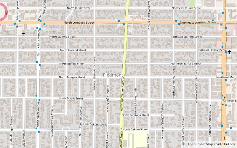
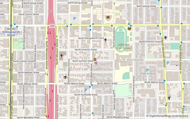
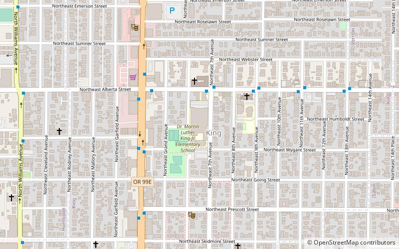
Piedmont is a neighborhood in the north and northeast sections of Portland, Oregon, United States. The Piedmont subdivision was platted in 1889 by Edward Quackenbush, and promoted in an early flyer as "The Emerald, Portland's Evergreen Suburb, Devoted Exclusively to Dwellings, A Place of Homes." The original subdivision, now known as "Historic Piedmont," includes parts of the Humboldt and King neighborhoods, as well as the modern Piedmont neighborhood south of Rosa Parks Way. ()
Coordinates: 45°34'29"N, 122°40'8"W
Day trips
Piedmont – popular in the area (distance from the attraction)
Nearby attractions include: Portland Meadows, St. Andrew Catholic Church, Gammans Park, Portland Museum of Modern Art.
Frequently Asked Questions (FAQ)
Which popular attractions are close to Piedmont?
Nearby attractions include Villa St. Rose, Portland (7 min walk), Farragut Park, Portland (10 min walk), North Williams Avenue, Portland (11 min walk), Peninsula Park, Portland (13 min walk).
How to get to Piedmont by public transport?
The nearest stations to Piedmont:
Bus
Light rail
Bus
- North Lombard & Vancouver • Lines: 75 (5 min walk)
- Northeast Lombard & Rodney • Lines: 75 (7 min walk)
Light rail
- North Lombard Transit Center • Lines: Yellow (17 min walk)
- Rosa Parks • Lines: Yellow (19 min walk)


