Nathaniel Mountain, Nathaniel Mountain Wildlife Management Area

Map
Facts and practical information
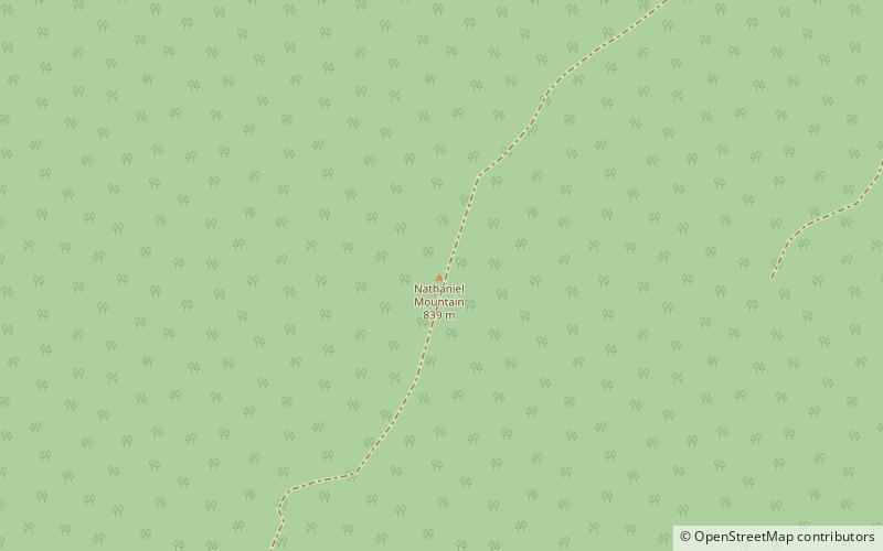
Nathaniel Mountain is a mountain ridge that runs southwest northeast through Hampshire County in West Virginia's Eastern Panhandle, rising to its greatest elevation of 2,739 feet above sea-level. The mountain is bound at its western flank by the South Branch Potomac River and to its eastern flank by South Branch Mountain 3,028 feet. The bulk of Nathaniel Mountain is located within the Nathaniel Mountain Wildlife Management Area owned by the West Virginia Division of Natural Resources. ()
Elevation: 2739 ftCoordinates: 39°12'33"N, 78°47'41"W
Address
Nathaniel Mountain Wildlife Management Area
ContactAdd
Social media
Add