Graveyard Fields, Brevard
Map
Gallery

Facts and practical information
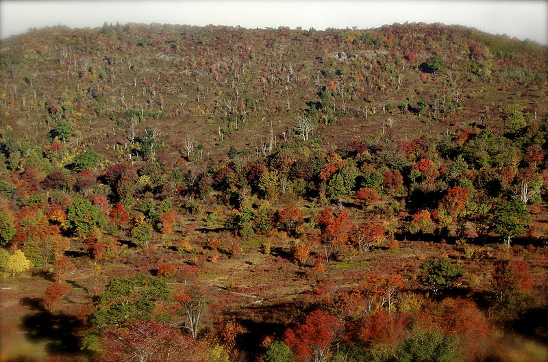
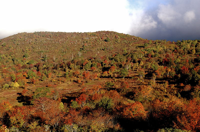
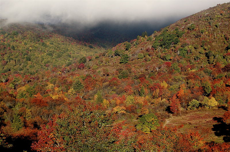
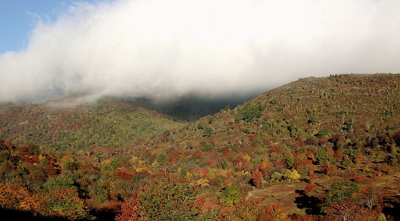
Graveyard Fields is the name of a flat mountain valley in the Blue Ridge Mountains of western North Carolina. The valley, itself over 5,000 feet in elevation, is surrounded by mountains exceeding 6,000 feet in elevation, such as Black Balsam Knob, Tennent Mountain, and Sam Knob. These high peaks form the source of the Yellowstone Prong of the Pigeon River, which flows through Graveyard Fields valley. ()
Coordinates: 35°19'20"N, 82°50'50"W
Address
blue ridge parkwayBrevard
ContactAdd
Social media
Add
Day trips
Graveyard Fields – popular in the area (distance from the attraction)
Nearby attractions include: Art Loeb Trail, Looking Glass Falls, Sliding Rock, Black Balsam Knob.


