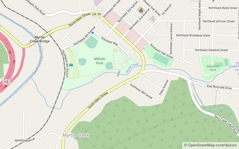
Horse Creek Bridge, Myrtle Creek
Map

Map

Facts and practical information
The Horse Creek Bridge was a covered bridge near the unincorporated community of McKenzie Bridge in Lane County in the U.S. state of Oregon. Built in 1930, the structure, 105 feet long, carried Horse Creek Road over Horse Creek. The creek is a tributary of the McKenzie River. ()
Built: 1930 (96 years ago)Coordinates: 43°1'24"N, 123°17'24"W
Address
Myrtle Creek
ContactAdd
Social media
Add
Day trips
Horse Creek Bridge – popular in the area (distance from the attraction)
Nearby attractions include: Riddle.

