Bay View, Milwaukee
Map

Map

Facts and practical information
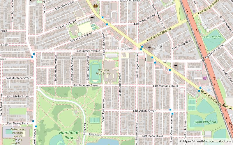
Bay View is a neighborhood in Milwaukee, Wisconsin, United States, North America on the shores of Lake Michigan, south of the downtown area and north of the City of St. Francis. Bay View existed as an independent village for eight years, from 1879 to 1887. ()
Built: 1867 (159 years ago)Coordinates: 42°59'40"N, 87°53'54"W
Address
Bay ViewMilwaukee
ContactAdd
Social media
Add
Day trips
Bay View – popular in the area (distance from the attraction)
Nearby attractions include: Basilica of St. Josaphat, Friends of South Shore Park, Historic Mitchell Street, Milwaukee Fire Department High Pressure Pumping Station.
Frequently Asked Questions (FAQ)
Which popular attractions are close to Bay View?
Nearby attractions include Pryor Avenue Iron Well, Milwaukee (14 min walk), Beulah Brinton House, Milwaukee (15 min walk), South Shore Yacht Club, Milwaukee (21 min walk), Friends of South Shore Park, Milwaukee (23 min walk).
How to get to Bay View by public transport?
The nearest stations to Bay View:
Ferry
Ferry
- Milwaukee Ferry Terminal • Lines: Milwaukee - Muskegon Ferry (23 min walk)


