Judaculla Rock, Cullowhee
Map

Map

Facts and practical information
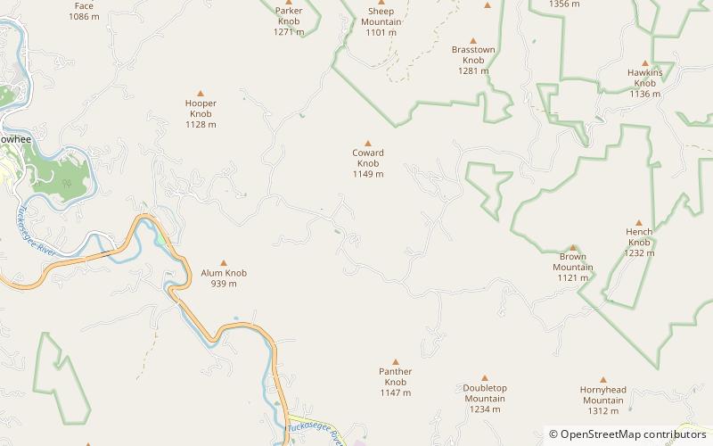
Judaculla Rock is a curvilinear-shaped outcrop of soapstone known for its ancient carvings and petroglyphs. The archaeological site is located on a 0.85-acre rectangular-shaped property, now owned by Jackson County. It is approximately 60 meters east of Caney Fork Creek, a major branch of the northwestward-trending Tuckasegee River in the mountains of Western North Carolina. ()
Elevation: 2283 ft a.s.l.Coordinates: 35°18'2"N, 83°6'34"W
Address
Caney Fork RdCullowhee
ContactAdd
Social media
Add
Day trips
Judaculla Rock – popular in the area (distance from the attraction)
Nearby attractions include: Mountain Heritage Center, Hunter Library, Western Carolina University, Ramsey Center.


