Cedar Mountains, Cedar Mountain Wilderness

Gallery (1)
Map
Map
Facts and practical information
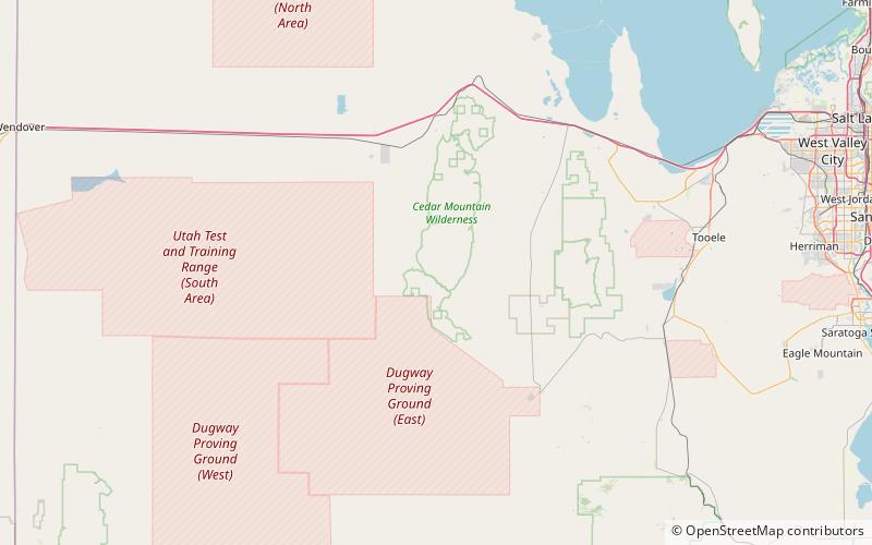
The Cedar Mountains of Tooele County, Utah, USA, are a 45-mile long mountain range located in the county's east, bordering east sections of the Great Salt Lake Desert on the range's west and southwest flanks. ()
Maximum elevation: 6921 ftCoordinates: 40°27'48"N, 112°59'13"W
Address
Cedar Mountain Wilderness
ContactAdd
Social media
Add