Rodman Public Library, Alliance
Map

Map

Facts and practical information
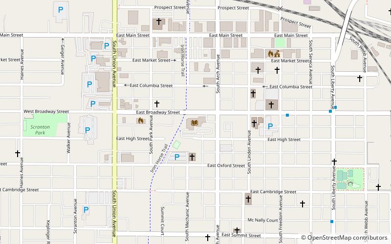
Rodman Public Library (address: 215 E Broadway St) is a place located in Alliance (Ohio state) and belongs to the category of library.
It is situated at an altitude of 1132 feet, and its geographical coordinates are 40°55'8"N latitude and 81°6'8"W longitude.
Among other places and attractions worth visiting in the area are: First Methodist Episcopal Church (church, 5 min walk), Eagles Building-Strand Theater (concerts and shows, 5 min walk), The Troll Hole Museum (specialty museum, 6 min walk).
Coordinates: 40°55'8"N, 81°6'8"W
Day trips
Rodman Public Library – popular in the area (distance from the attraction)
Nearby attractions include: Glamorgan Castle, University of Mount Union, First Methodist Episcopal Church, Mable Hartzell Historical Home.
Frequently Asked Questions (FAQ)
Which popular attractions are close to Rodman Public Library?
Nearby attractions include First Methodist Episcopal Church, Alliance (5 min walk), Eagles Building-Strand Theater, Alliance (5 min walk), The Troll Hole Museum, Alliance (6 min walk), Glamorgan Castle, Alliance (15 min walk).


