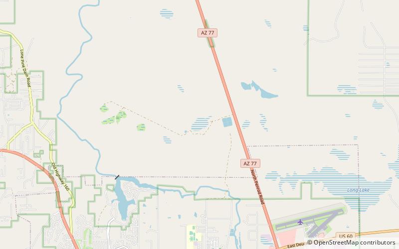
Fool Hollow Lake, Apache–Sitgreaves National Forests
Map

Map

Facts and practical information
Fool Hollow Lake is a public lake located in Navajo County, Arizona, near the city of Show Low. The lake is operated by the Arizona State Parks Department, and consists of 150 acres, with an average depth of 23 feet together with a variety of fish species. ()
Average depth: 23 ftElevation: 6355 ft a.s.l.Coordinates: 34°17'34"N, 110°2'42"W
Address
Apache–Sitgreaves National Forests
ContactAdd
Social media
Add
Day trips
Fool Hollow Lake – popular in the area (distance from the attraction)
Nearby attractions include: Show Low Museum.

