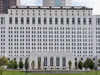
Columbus Association for the Performing Arts, Columbus
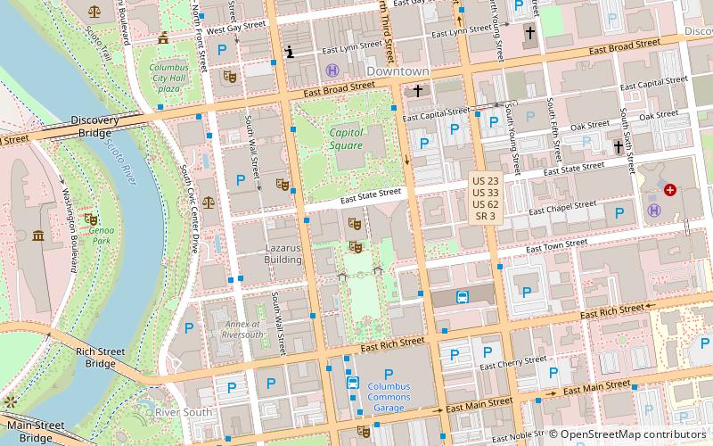
Map
Map

Facts and practical information
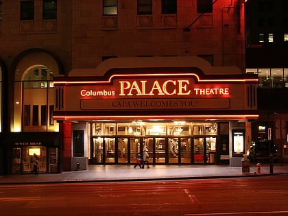
The Columbus Association for the Performing Arts is non-profit arts and theater management organization based in Columbus, Ohio. ()
Coordinates: 39°57'36"N, 82°59'56"W
Address
39 E State St, Columbus, OH 43215Downtown ColumbusColumbus 43215
ContactAdd
Social media
Day trips
Columbus Association for the Performing Arts – popular in the area (distance from the attraction)
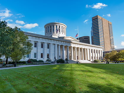
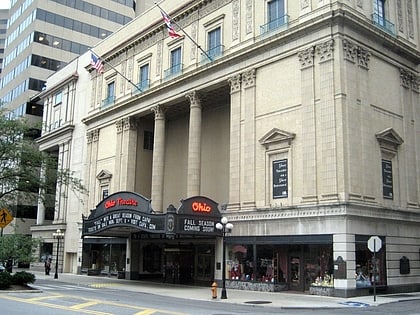
Nearby attractions include: Ohio Statehouse, Cultural Arts Center, Columbus Commons, Ohio Theatre.
Frequently Asked Questions (FAQ)
Which popular attractions are close to Columbus Association for the Performing Arts?
Nearby attractions include Ohio Theatre, Columbus (1 min walk), Capitol Square, Columbus (1 min walk), Fifth Third Center, Columbus (1 min walk), Naiads, Columbus (2 min walk).
How to get to Columbus Association for the Performing Arts by public transport?
The nearest stations to Columbus Association for the Performing Arts:
Bus
Bus
- S High St & E State St • Lines: 1, 102, 2, Cbus (2 min walk)
- S High St & W State St • Lines: 1, 102, 2, Cbus, Cmax (3 min walk)

