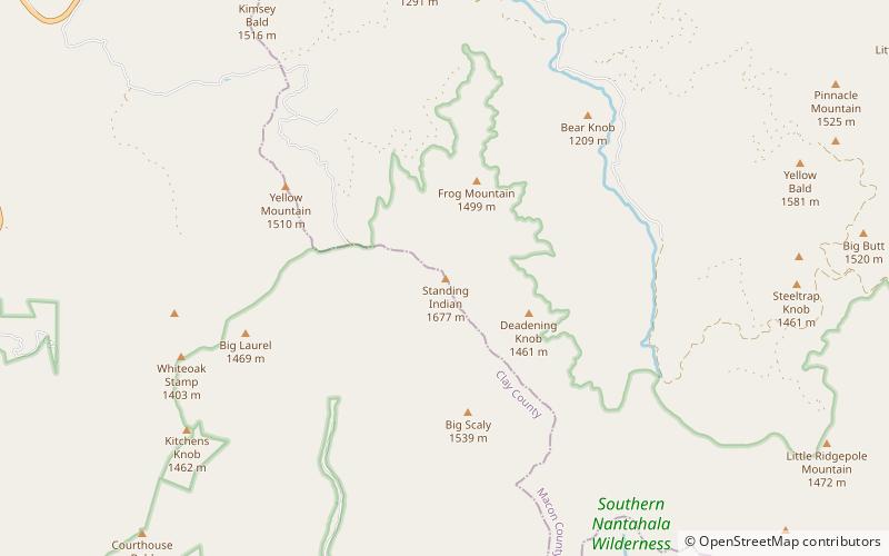
Standing Indian Mountain, Southern Nantahala Wilderness
Map

Map

Facts and practical information
Standing Indian Mountain, elevation 5,499 feet, is part of the North Carolina portion of the Southern Nantahala Wilderness within the boundaries of the Nantahala National Forest. The mountain lies along the Appalachian Trail and is the highest point along the Nantahala River. ()
Elevation: 5499 ftProminence: 2819 ftCoordinates: 35°2'7"N, 83°32'17"W
Address
Southern Nantahala Wilderness
ContactAdd
Social media
Add
Day trips
Standing Indian Mountain – popular in the area (distance from the attraction)
Nearby attractions include: Hightower Bald, Bull Cove Falls, Dick's Knob, Rich Knob.


