Pulaski Square, Savannah
Map

Map

Facts and practical information
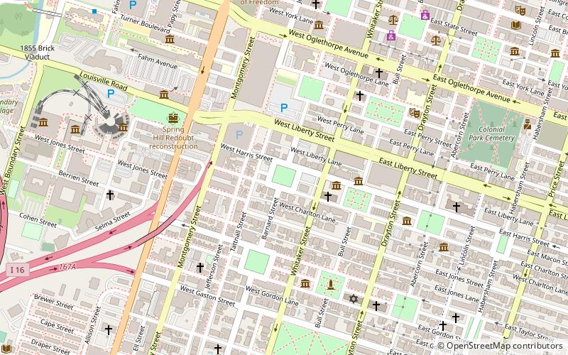
Pulaski Square is one of the 22 squares of Savannah, Georgia, United States. It is located in the fourth row of the city's five rows of squares, on Barnard Street and West Macon Street, and was laid out in 1837. It is south of Orleans Square, west of Madison Square and north of Chatham Square. It is known for its live oaks. The oldest buildings on the square are the Theodosius Bartow House and the Bernard Constantine House, which date to 1839. ()
Elevation: 39 ft a.s.l.Coordinates: 32°4'27"N, 81°5'46"W
Day trips
Pulaski Square – popular in the area (distance from the attraction)
Nearby attractions include: Savannah Civic Center, Green-Meldrim House, Madison Square, Orleans Square.
Frequently Asked Questions (FAQ)
Which popular attractions are close to Pulaski Square?
Nearby attractions include St. John's Church, Savannah (3 min walk), Green-Meldrim House, Savannah (3 min walk), Sorrel Weed House, Savannah (4 min walk), Savannah College of Art & Design, Savannah (4 min walk).
How to get to Pulaski Square by public transport?
The nearest stations to Pulaski Square:
Bus
Tram
Bus
- G • Lines: 17 (11 min walk)
- F • Lines: 29 (11 min walk)
Tram
- Stop • Lines: Rssc (17 min walk)


