Johnson Hollow, Mark Twain National Forest
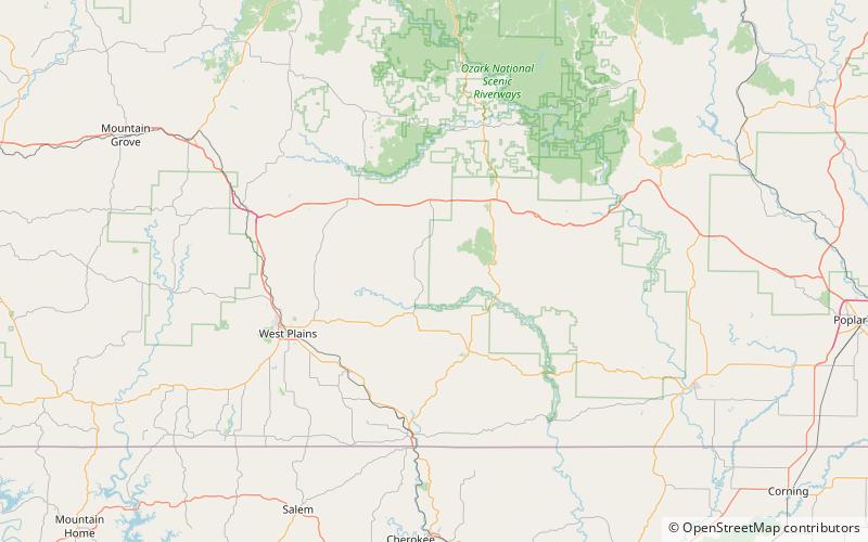
Map
Facts and practical information
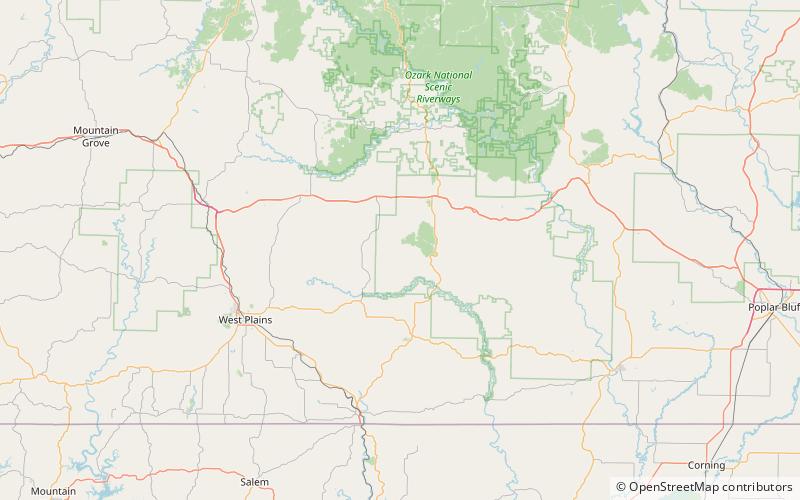
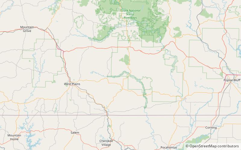
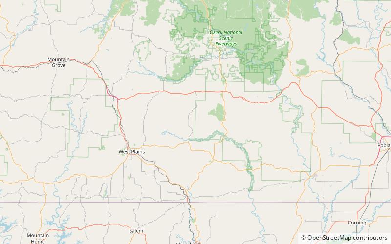
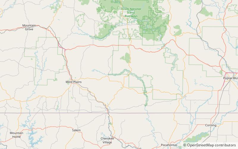
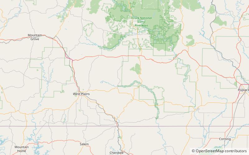
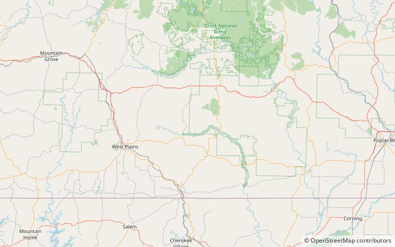
Johnson Hollow is a valley in Oregon County in the U.S. state of Missouri. ()
Coordinates: 36°51'19"N, 91°28'58"W
Address
Mark Twain National Forest
ContactAdd
Social media
Add
Day trips
Johnson Hollow – popular in the area (distance from the attraction)
Nearby attractions include: Wolfpen Hollow, Doniphan Hollow, Hog Hollow, Denny Hollow.
