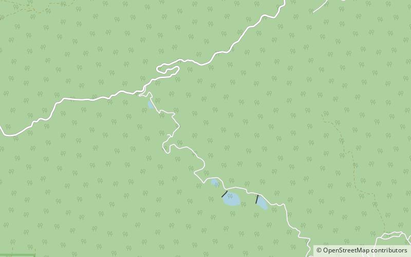
Cys Cache, Fishlake National Forest

Map
Facts and practical information
Cys Cache is a lake in Beaver County, Utah, United States. The lake is about 9.8 miles east-southeast of Beaver and is located within the Fishlake National Forest with an elevation of 7,923 feet. ()
Elevation: 7930 ft a.s.l.Coordinates: 38°15'13"N, 112°28'16"W
Address
Fishlake National Forest
ContactAdd
Social media
Add