Mount Olivet Memorial Park, Hannibal
Map

Map

Facts and practical information
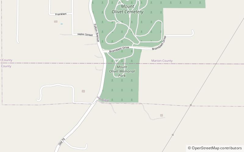
Mount Olivet Memorial Park (address: 2340 Fulton Ave) is a place located in Hannibal (Missouri state) and belongs to the category of cemetery.
It is situated at an altitude of 666 feet, and its geographical coordinates are 39°41'12"N latitude and 91°20'34"W longitude.
Among other places and attractions worth visiting in the area are: Mark Twain Cave (nature, 16 min walk), Ebert-Dulany House (neighbourhood, 38 min walk), Clemens Field (sport, 40 min walk).
Coordinates: 39°41'12"N, 91°20'34"W
Day trips
Mount Olivet Memorial Park – popular in the area (distance from the attraction)
Nearby attractions include: Mark Twain Cave, Mark Twain Boyhood Home & Museum, Rockcliffe Mansion, Clemens Field.


