Tennessee Valley, Mill Valley
Map

Map

Facts and practical information
The Tennessee Valley is a small, undeveloped part of Marin County, near Mill Valley. Historically home to ranches and threatened with the development of a new city, the valley was incorporated into the Golden Gate National Recreation Area in 1972, with additional sections added to the park in 1974. The park contains horse stables, a native-plant nursery, and numerous trails for hiking, biking, and horse riding, including a 1.7-mile, handicap-accessible trail that leads to Tennessee Cove and its beach. ()
Elevation: 269 ft a.s.l.Coordinates: 37°51'40"N, 122°32'2"W
Day trips
Tennessee Valley – popular in the area (distance from the attraction)
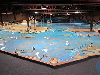
Nearby attractions include: Nike Missile Site SF-88, Rodeo Lagoon, Bay Model Visitor Center, The Marine Mammal Center.
Frequently Asked Questions (FAQ)
How to get to Tennessee Valley by public transport?
The nearest stations to Tennessee Valley:
Bus
Bus
- Drake Avenue & Pacheco Street • Lines: 2 (34 min walk)


