UCLA Health Training Center, Los Angeles
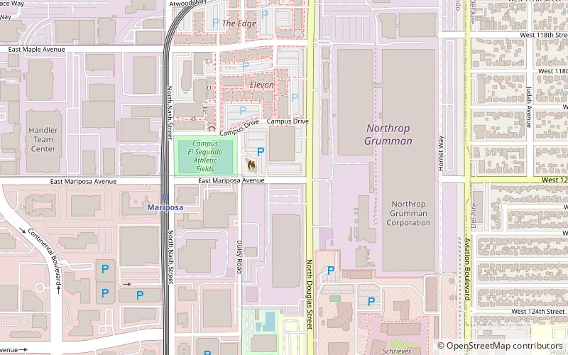
Map
Facts and practical information
UCLA Health Training Center is an indoor arena and basketball practice facility located in El Segundo, California. It hosts the South Bay Lakers of the NBA G League. The facility also serves as the training center for the Los Angeles Lakers of the National Basketball Association. It has a seating capacity of 750 spectators. ()
Opened: 2017Coordinates: 33°55'25"N, 118°23'2"W
Address
Silicon Beach (El Segundo)Los Angeles
ContactAdd
Social media
Add
Getting there by public transportation
Public transportation stops near this location
- Bus
- Light rail
 Bus
Bus
- Calculate routeMariposa 6 min walk
- Calculate routeEl Segundo 14 min walk
- Calculate routeAviation/LAX 15 min walk
- Calculate routeAviation/LAX Station 15 min walk
- Calculate routeAviation & Imperial 16 min walk
Maps Metro & Regional Rail
Metro & Regional RailDay trips


Frequently Asked Questions (FAQ)
Which popular attractions are close to UCLA Health Training Center?
Nearby attractions include Automobile Driving Museum, Manhattan Beach (12 min walk), Hangar One, Los Angeles (18 min walk), El Segundo, Los Angeles (20 min walk).
How to get to UCLA Health Training Center by public transport?
The nearest stations to UCLA Health Training Center:
Light rail
Bus
Light rail
- Mariposa • Lines: C (6 min walk)
- El Segundo • Lines: C (14 min walk)
Bus
- Aviation/LAX Station • Lines: 3, 6, G, Rapid 3, Rapid 6 (15 min walk)
- Aviation & Imperial • Lines: 3, 6 (16 min walk)