Town Beach, Narragansett
Map
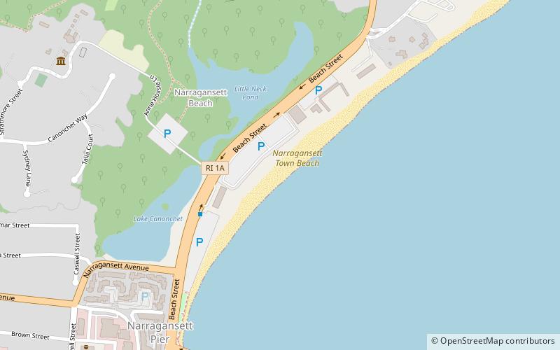
Map

Facts and practical information
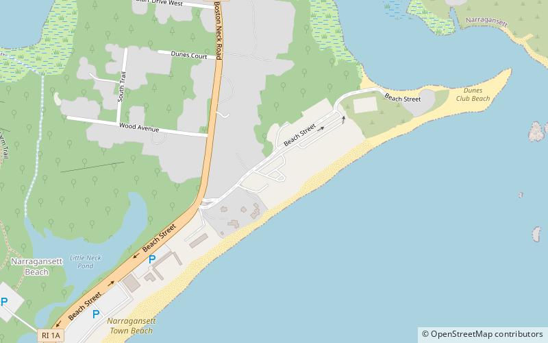
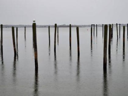
Narragansett Town Beach is a public recreation area encompassing 19 acres on the eastern edge of the town of Narragansett, Rhode Island, and south of the western passage that connects the Narragansett Bay to the open waters of Rhode Island Sound. The southern shoreline is rocky with a concrete sea wall constructed upland, while the northeast end of the beach is characterized by the entrance to Narrow River and Cormorant Point. ()
Elevation: 16 ft a.s.l.Coordinates: 41°26'10"N, 71°27'14"W
Day trips
Town Beach – popular in the area (distance from the attraction)
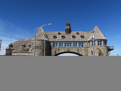
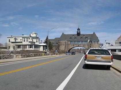
Nearby attractions include: The Towers, South County Museum, St. Thomas More Parish, The Dunes Club.
Frequently Asked Questions (FAQ)
Which popular attractions are close to Town Beach?
Nearby attractions include The Dunes Club, Narragansett (10 min walk), The Towers, Narragansett (11 min walk), South County Museum, Narragansett (11 min walk), Narragansett Pier, Narragansett (12 min walk).


