Duquesne Heights, Pittsburgh
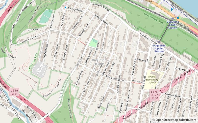
Map
Facts and practical information
Duquesne Heights is a neighborhood in Pittsburgh, Pennsylvania's south city area. It has a zip code of 15211, and has representation on Pittsburgh City Council by the council member for District 2. ()
Area: 0.62 mi²Coordinates: 40°26'13"N, 80°1'26"W
Address
South Side (Duquesne Heights)Pittsburgh
ContactAdd
Social media
Add
Getting there by public transportation
Public transportation stops near this location
- Bus
- Light rail
 Bus
Bus
- Calculate routeFingal St at Rutledge St 8 min walk
- Calculate routeVirginia Ave at Shop n Save 25 min walk
- Calculate routeLiberty Ave at Wyndham Grand 26 min walk
- Calculate routeBlvd of the Allies at Stanwix Street 27 min walk
- Calculate routeAllegheny 21 min walk
- Calculate routeNorth Side 27 min walk
- Calculate routeStation Square 30 min walk
- Calculate routeSouth Hills Junction 37 min walk
Day trips


Frequently Asked Questions (FAQ)
Which popular attractions are close to Duquesne Heights?
Nearby attractions include Point of View Park, Pittsburgh (6 min walk), Point of View Sculpture, Pittsburgh (6 min walk), Fort Pitt Tunnel, Pittsburgh (9 min walk), West End, Pittsburgh (12 min walk).
How to get to Duquesne Heights by public transport?
The nearest stations to Duquesne Heights:
Bus
Light rail
Bus
- Fingal St at Rutledge St • Lines: 40 (8 min walk)
- Virginia Ave at Shop n Save • Lines: 40 (25 min walk)
Light rail
- Allegheny • Lines: Blue, Red, Silver (21 min walk)
- North Side • Lines: Blue, Red, Silver (27 min walk)