Denver Pavilions, Denver
Map

Map

Facts and practical information
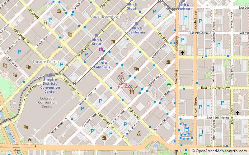
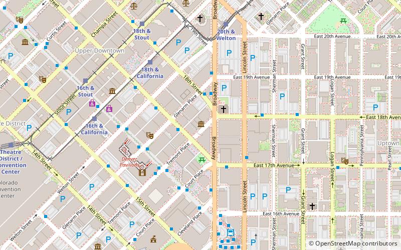
Denver Pavilions is a shopping mall located on the 16th Street Mall in Downtown Denver, Colorado. Originally opened in 1998, the mall has over 40 stores and restaurants. ()
Coordinates: 39°44'38"N, 104°59'28"W
Day trips
Denver Pavilions – popular in the area (distance from the attraction)
Nearby attractions include: 16th Street Mall, Denver Dry Goods Company Building, Holy Ghost Catholic Church, Bellco Theatre.
Frequently Asked Questions (FAQ)
When is Denver Pavilions open?
Denver Pavilions is open:
- Monday 10 am - 9 pm
- Tuesday 10 am - 9 pm
- Wednesday 10 am - 9 pm
- Thursday 10 am - 9 pm
- Friday 10 am - 9 pm
- Saturday 10 am - 9 pm
- Sunday 11 am - 6 pm
Which popular attractions are close to Denver Pavilions?
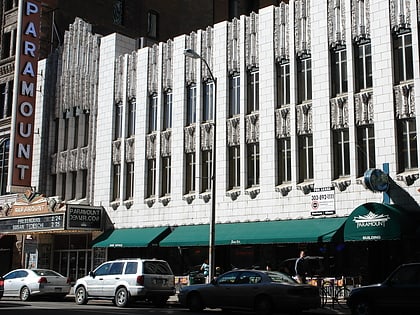
Nearby attractions include Masonic Temple Building, Denver (2 min walk), Paramount Theatre, Denver (2 min walk), Dominion Plaza, Denver (3 min walk), 555 17th Street, Denver (4 min walk).
How to get to Denver Pavilions by public transport?
The nearest stations to Denver Pavilions:
Bus
Light rail
Train
Bus
- 16th Street Mall & Glenarm Place • Lines: Mall (1 min walk)
- 15th Street & Glenarm Place [ Y Stop ] • Lines: , 6 (2 min walk)
Light rail
- 16th & California • Lines: D, F, H, L (3 min walk)
- 18th & California • Lines: D, F, H, L (6 min walk)
Train
- Union Station (22 min walk)


