Gearhart Mountain, Gearhart Mountain Wilderness

Gallery (1)
Map
Map
Facts and practical information
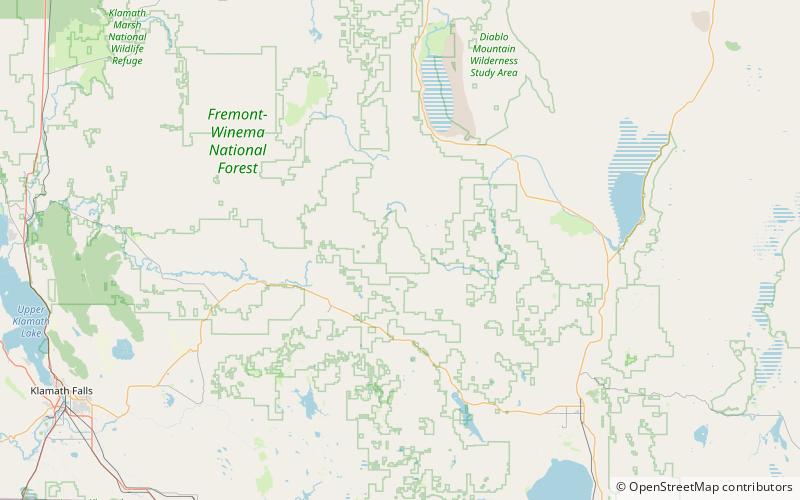
Gearhart Mountain is a 8,041-foot high mountain in Lake County and Klamath County, Oregon, in the United States. It is located in the Gearhart Mountain Wilderness of the Fremont–Winema National Forest, northeast of the Sprague River valley and the town of Bly. ()
Elevation: 8041 ftProminence: 3430 ftCoordinates: 42°30'39"N, 120°51'4"W
Address
Gearhart Mountain Wilderness
ContactAdd
Social media
Add