Delaware Avenue Historic District, Buffalo
Map

Map

Facts and practical information
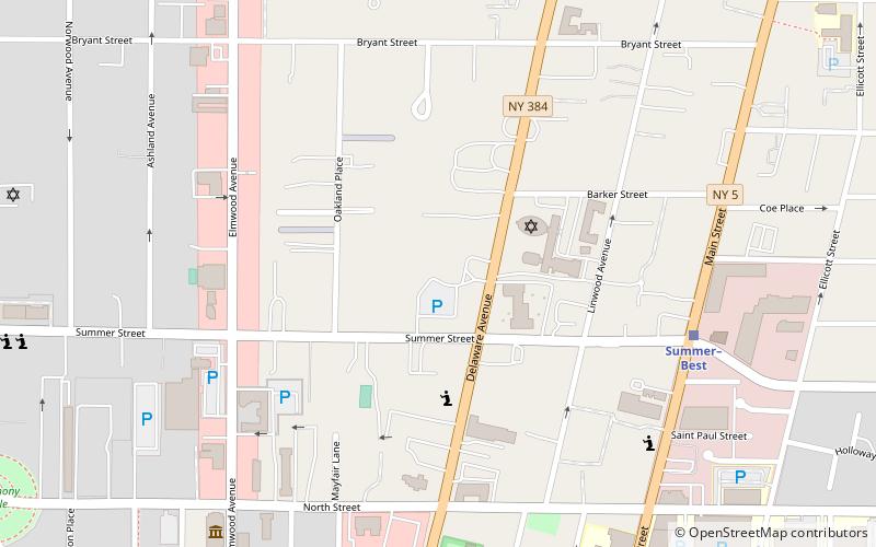
Delaware Avenue Historic District is a national historic district located at Buffalo, New York, United States, and Erie County. It is located along the west side of Delaware Avenue between North Street to the South and Bryant Street to the North. ()
Coordinates: 42°54'20"N, 78°52'23"W
Address
Elmwood (Bryant)Buffalo
ContactAdd
Social media
Add
Day trips
Delaware Avenue Historic District – popular in the area (distance from the attraction)
Nearby attractions include: Allentown, Theodore Roosevelt Inaugural National Historic Site, St. Louis Roman Catholic Church, Shea's Performing Arts Center.
Frequently Asked Questions (FAQ)
Which popular attractions are close to Delaware Avenue Historic District?
Nearby attractions include The Wayne and The Waldorf Apartments, Buffalo (3 min walk), Temple Beth Zion, Buffalo (3 min walk), Williams-Pratt House, Buffalo (5 min walk), Buffalo Tennis and Squash Club, Buffalo (6 min walk).
How to get to Delaware Avenue Historic District by public transport?
The nearest stations to Delaware Avenue Historic District:
Light rail
Light rail
- Summer–Best • Lines: Metro (7 min walk)
- Allen/Medical Campus • Lines: Metro (12 min walk)


