Seton Falls Park, New York City
Map

Map

Facts and practical information
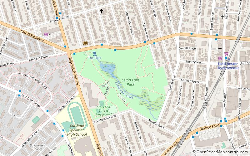
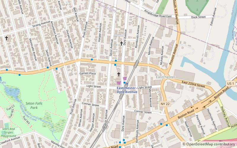
Seton Falls Park is a 36-acre wooded area in the Edenwald area of The Bronx in New York City. The park is named after the Seton family, who owned the land in the 19th century. ()
Elevation: 59 ft a.s.l.Coordinates: 40°53'14"N, 73°50'17"W
Day trips
Seton Falls Park – popular in the area (distance from the attraction)
Nearby attractions include: Saint Paul's Church National Historic Site, St. Frances of Rome's Church, East 233rd Street, Trinity Episcopal Church Complex.
Frequently Asked Questions (FAQ)
Which popular attractions are close to Seton Falls Park?
Nearby attractions include Edenwald Branch NYPL, New York City (5 min walk), Our Lady of the Nativity of Our Blessed Lady's Church, New York City (10 min walk), Public School 15, New Rochelle (12 min walk), Saint Paul's Church National Historic Site, Yonkers (20 min walk).
How to get to Seton Falls Park by public transport?
The nearest stations to Seton Falls Park:
Bus
Metro
Bus
- East 233rd Street & Secor Avenue • Lines: Bx16 (10 min walk)
- Dyre Avenue & Boston Road • Lines: Bx16 (10 min walk)
Metro
- Eastchester–Dyre Avenue • Lines: 5 (11 min walk)
- Baychester Avenue • Lines: 5 (15 min walk)

 Subway
 Manhattan Buses


