Meador Valley, Mark Twain National Forest
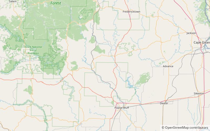
Map
Facts and practical information
Meador Valley is a valley in Wayne County in the U.S. state of Missouri. ()
Coordinates: 37°6'32"N, 90°34'16"W
Address
Mark Twain National Forest
ContactAdd
Social media
Add