Chester CT Historical Society, Chester
Map
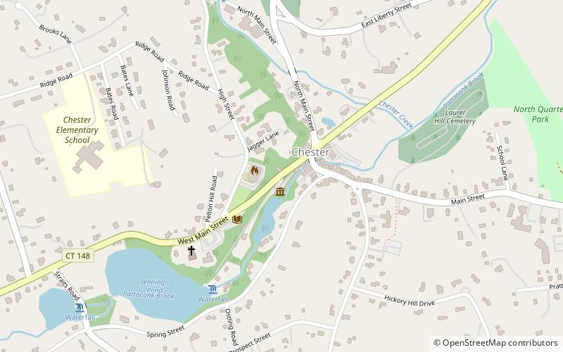
Map

Facts and practical information
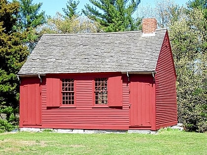
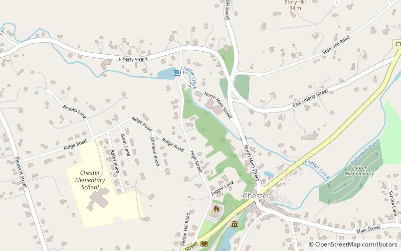
Chester CT Historical Society (address: 9 W Main St) is a place located in Chester (Connecticut state) and belongs to the category of top attraction, museum.
It is situated at an altitude of 30 feet, and its geographical coordinates are 41°24'9"N latitude and 72°27'6"W longitude.
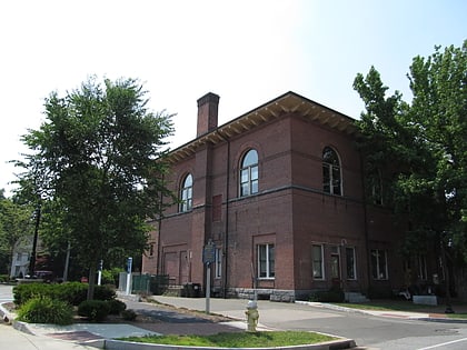
Among other places and attractions worth visiting in the area are: Norma Terris Theatre (concerts and shows, 6 min walk), Old Town Hall (church, 8 min walk), Charles Daniels House (greek revival architecture, 14 min walk).
Coordinates: 41°24'9"N, 72°27'6"W
Day trips
Chester CT Historical Society – popular in the area (distance from the attraction)
Nearby attractions include: Gillette Castle State Park, Goodspeed Musicals, Eagle Landing State Park, First Baptist Church of Essex.
Frequently Asked Questions (FAQ)
Which popular attractions are close to Chester CT Historical Society?
Nearby attractions include Norma Terris Theatre, Chester (6 min walk), Old Town Hall, Chester (8 min walk), Charles Daniels House, Chester (14 min walk).
