La Canada Flintridge Country Club, La Cañada Flintridge
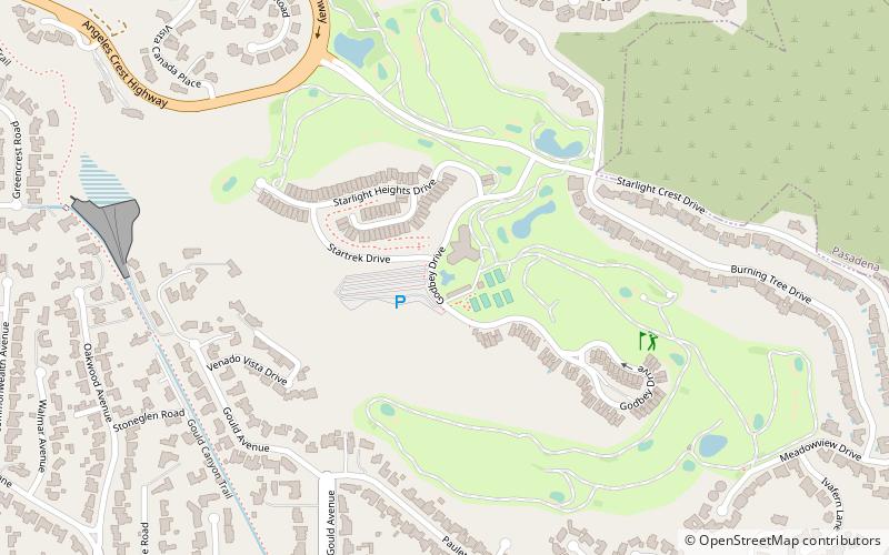
Map
Map

Facts and practical information
La Canada Flintridge Country Club (address: 5500 Godbey Dr) is a place located in La Cañada Flintridge (California state) and belongs to the category of golf.
It is situated at an altitude of 1788 feet, and its geographical coordinates are 34°12'52"N latitude and 118°11'13"W longitude.
Among other places and attractions worth visiting in the area are: Lanterman House (museum, 33 min walk), Descanso Gardens (botanical garden, 44 min walk), Lincoln-Villa (neighbourhood, 70 min walk).
Coordinates: 34°12'52"N, 118°11'13"W
Day trips
La Canada Flintridge Country Club – popular in the area (distance from the attraction)
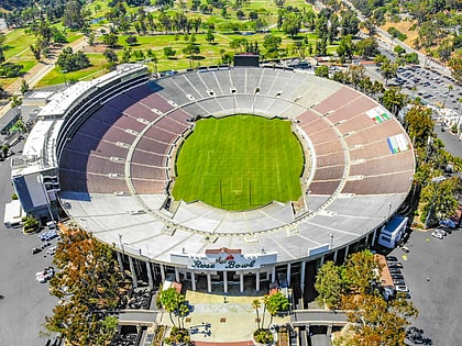
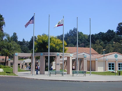
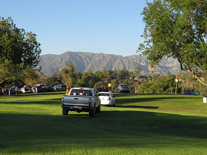
Nearby attractions include: Rose Bowl Stadium, Rose Bowl Aquatics Center, Brookside Golf Course, Descanso Gardens.

