South County Trailway, Irvington

Gallery (5)
Map

Map

Gallery
Facts and practical information
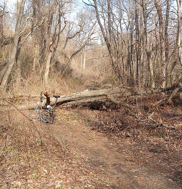
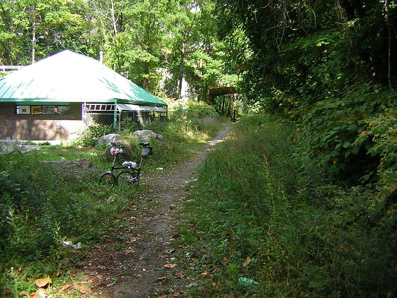
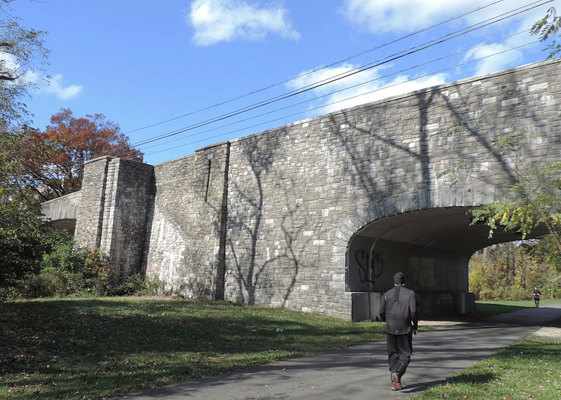
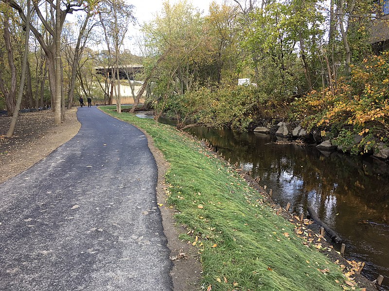
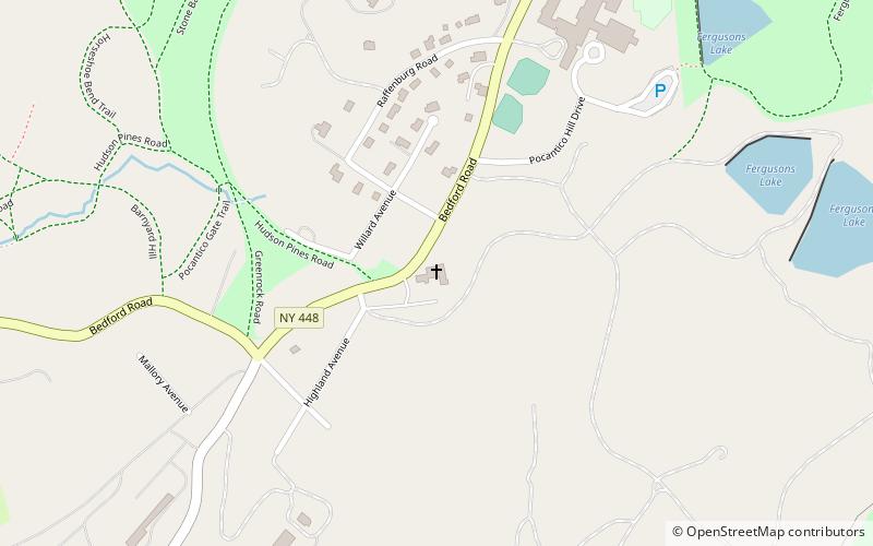
The South County Trailway is a 14.1-mile long rail trail stretching from the Putnam Trail in Van Cortlandt Park in the Bronx to the North County Trailway in East View, New York. Westchester County Parks constructed the trailway in segments beginning in 1990 and completed it on October 31, 2017. ()
Length: 14.1 miCoordinates: 41°3'48"N, 73°49'9"W
Getting there by public transportation
Public transportation stops near this location
- Bus
 Bus
Bus
- Calculate routeSaw Mill River Rd @ Payne St 7 min walk
Day trips


Frequently Asked Questions (FAQ)
Which popular attractions are close to South County Trailway?
Nearby attractions include Elmsford Reformed Church and Cemetery, Irvington (17 min walk), Elmsford, Irvington (18 min walk).
How to get to South County Trailway by public transport?
The nearest stations to South County Trailway:
Bus
Bus
- Saw Mill River Rd @ Payne St • Lines: 14 (7 min walk)