Mid-Town Historic District, Springfield
Map
Facts and practical information
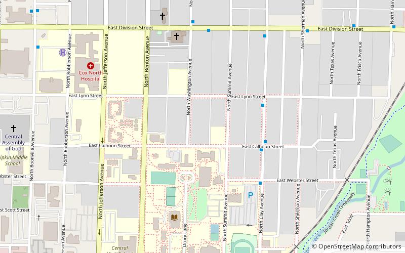
Mid-Town Historic District is a national historic district in Springfield, Missouri, United States. It encompasses 455 buildings, 8 structures, and 7 objects in a predominantly residential section of Springfield. It developed between about 1871 and 1952, and includes representative examples of Late Victorian, Colonial Revival, and Bungalow / American Craftsman architecture, including the separately listed Bentley House and Stone Chapel. Other notable buildings include those on the Drury College campus, Central Christian Church, St. Johns Episcopal Church, Mary S. Boyd School, and Trinity Lutheran Church. ()
Coordinates: 37°13'22"N, 93°17'6"W
Address
MidtownSpringfield
ContactAdd
Social media
Add
Getting there by public transportation
Public transportation stops near this location
- Bus
 Bus
Bus
- Calculate routeTransit Center 30 min walk
Day trips


Frequently Asked Questions (FAQ)
Which popular attractions are close to Mid-Town Historic District?
Nearby attractions include Drury University, Springfield (6 min walk), St. John's Episcopal Church, Springfield (8 min walk), Stone Chapel, Springfield (10 min walk), Washington Park, Springfield (10 min walk).
How to get to Mid-Town Historic District by public transport?
The nearest stations to Mid-Town Historic District:
Bus
Bus
- Transit Center (30 min walk)