Church–Lafayette Streets Historic District, Wakefield
Map

Map

Facts and practical information
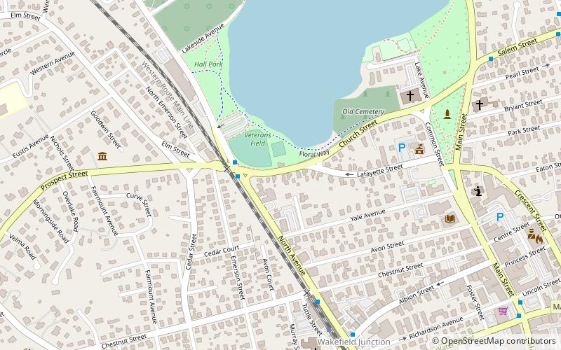
The Church–Lafayette Streets Historic District encompasses a well-preserved collection of late 18th- and early 19th-century houses in Wakefield, Massachusetts. It includes properties on Church Street between Common Street and North Avenue, and on Lafayette Street between Common and Church Streets. The district was added to the National Register of Historic Places in 1989. ()
Coordinates: 42°30'20"N, 71°4'38"W
Address
Wakefield (Downtown Wakefield)Wakefield
ContactAdd
Social media
Add
Day trips
Church–Lafayette Streets Historic District – popular in the area (distance from the attraction)
Nearby attractions include: Lakeside Cemetery Chapel, Meeting House of the Second Parish in Woburn, Temple Israel Cemetery, Beacon Street Tomb.
Frequently Asked Questions (FAQ)
Which popular attractions are close to Church–Lafayette Streets Historic District?
Nearby attractions include Meeting House of the Second Parish in Woburn, Wakefield (3 min walk), House at 25 Avon Street, Wakefield (4 min walk), Yale Avenue Historic District, Wakefield (5 min walk), Captain Goodwin–James Eustis House, Wakefield (6 min walk).
How to get to Church–Lafayette Streets Historic District by public transport?
The nearest stations to Church–Lafayette Streets Historic District:
Train
Train
- Wakefield (7 min walk)


