Oliver Bridge, Duluth

Gallery (1)
Map
Map
Facts and practical information
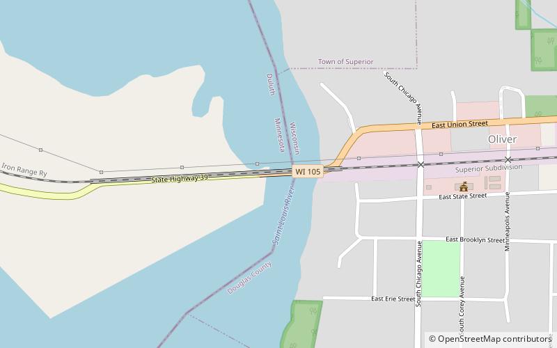
The Oliver Bridge is a bridge across the Saint Louis River. It was constructed in 1916 by the Interstate Transfer Railway Company, a Wisconsin corporation, under special federal authorization from the 60th United States Congress. It connects the Gary – New Duluth neighborhood in Duluth, Minnesota with the village of Oliver, Wisconsin. The bridge is 1,900 feet long and is principally of steel truss construction. ()
Opened: 1916 (110 years ago)Coordinates: 46°39'24"N, 92°12'8"W
Address
Duluth
ContactAdd
Social media
Add
Day trips