Whitman Plaza, Philadelphia
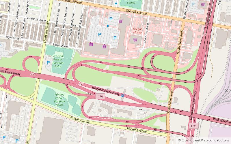
Map
Facts and practical information
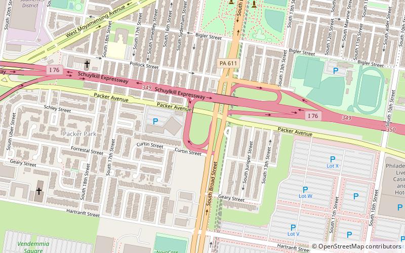
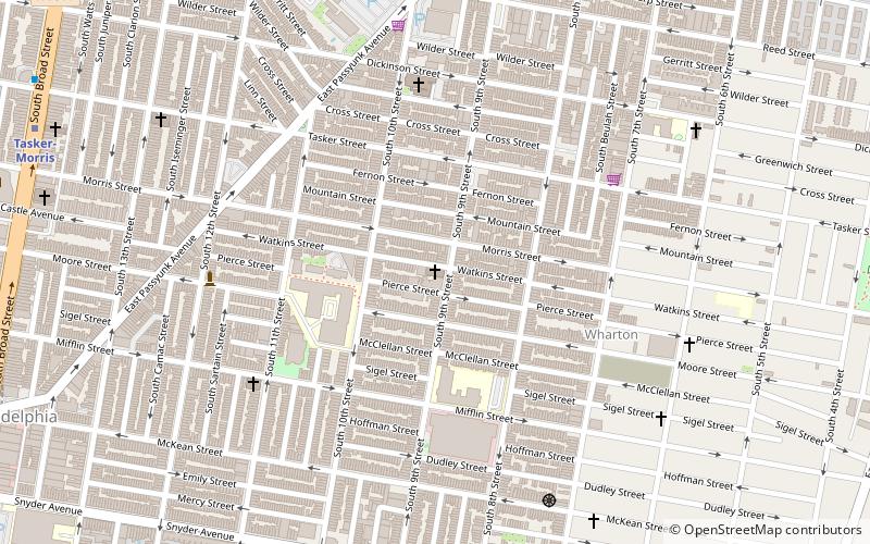
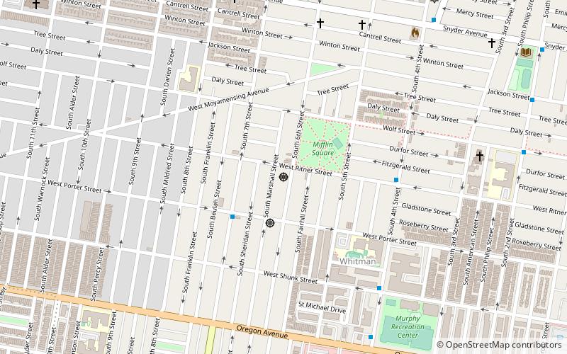
Whitman Plaza is the largest shopping center in the Whitman neighborhood of South Philadelphia, Pennsylvania. The shopping plaza is located on Oregon Avenue at S 3rd Street, where it stands at over 280,000 sq ft. It is located adjacent to Baby Saigon, the Vietnamese neighborhood market in which Oregon Market resides. ()
Stores: 30Coordinates: 39°54'40"N, 75°9'18"W
Address
South Philadelphia (Whitman)Philadelphia
ContactAdd
Social media
Add
Getting there by public transportation
Public transportation stops near this location
- Metro
 Metro
Metro
- Calculate routeOregon 24 min walk
- Calculate routeNrg 26 min walk
- Calculate routeSnyder 30 min walk
Maps SEPTA Regional Rail
SEPTA Regional RailDay trips


Frequently Asked Questions (FAQ)
Which popular attractions are close to Whitman Plaza?
Nearby attractions include South Philadelphia East, Philadelphia (9 min walk), Mastery Charter School Thomas Campus, Philadelphia (14 min walk), Live! Casino & Hotel Philadelphia, Philadelphia (14 min walk), D. Newlin Fell School, Philadelphia (14 min walk).
How to get to Whitman Plaza by public transport?
The nearest stations to Whitman Plaza:
Metro
Metro
- Oregon • Lines: Bsl (24 min walk)
- Nrg • Lines: Bsl (26 min walk)