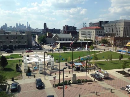
Camden Waterfront, Camden
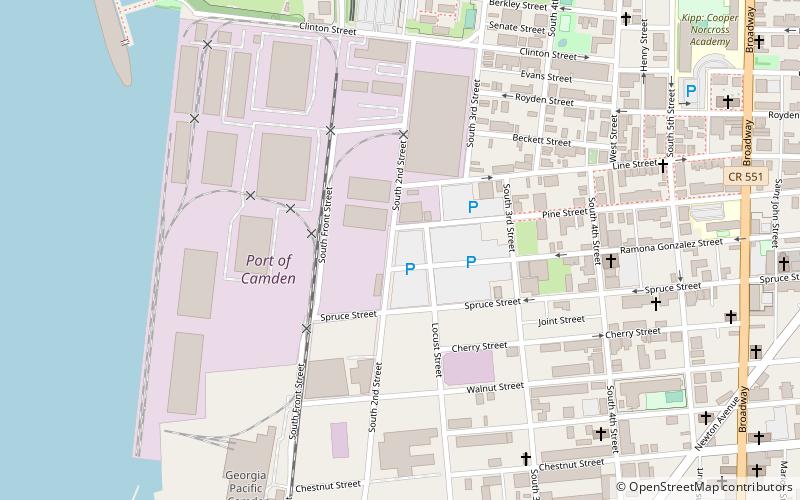
Map
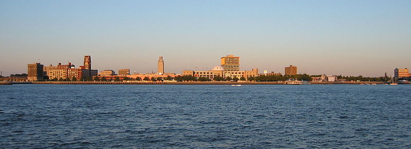
Gallery
Facts and practical information
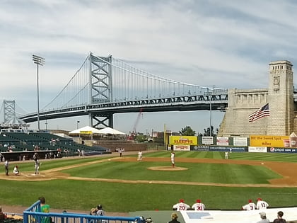
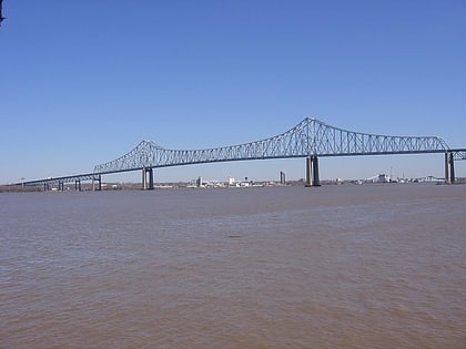
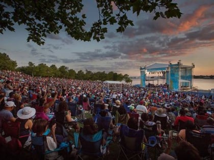
The Camden Waterfront, also known as the Central Waterfront, is a tourist and entertainment district in Camden, New Jersey, on the Delaware River south of the Ben Franklin Bridge and north of Port of Camden. ()
Coordinates: 39°56'8"N, 75°7'36"W
Address
Central WaterfrontCamden
ContactAdd
Social media
Add
Day trips
Camden Waterfront – popular in the area (distance from the attraction)
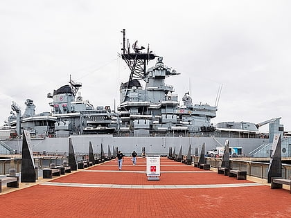
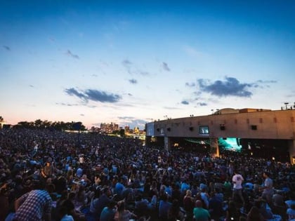
Nearby attractions include: USS New Jersey, Campbell's Field, Battleship New Jersey Museum and Memorial, Theatre of Living Arts.
Frequently Asked Questions (FAQ)
Which popular attractions are close to Camden Waterfront?
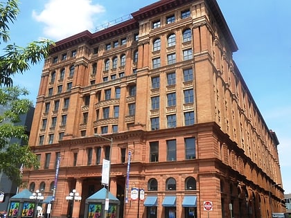
Nearby attractions include BB&T Pavilion, Camden (11 min walk), Battleship New Jersey Museum and Memorial, Camden (11 min walk), USS New Jersey, Camden (11 min walk), Camden Free Public Library Main Building, Camden (11 min walk).
How to get to Camden Waterfront by public transport?
The nearest stations to Camden Waterfront:
Light rail
Metro
Bus
Light rail
- Entertainment Center • Lines: River Line (10 min walk)
- Walter Rand Transportation Center • Lines: River Line (16 min walk)
Metro
- Broadway • Lines: Patco (17 min walk)
- City Hall • Lines: Patco (20 min walk)
Bus
- Walter Rand Transportation Center (18 min walk)


