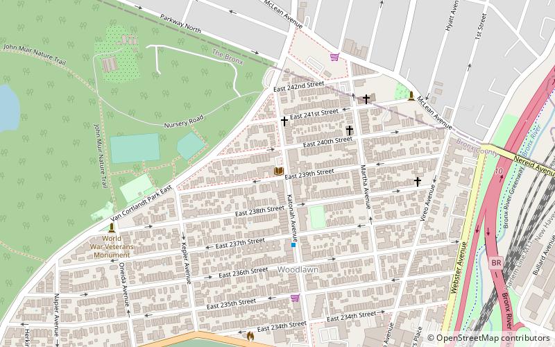
Woodlawn Heights Library, New York City
Map

Map

Facts and practical information
The New York Public Library system includes libraries in Manhattan, the Bronx, and Staten Island. This page is organized by borough, and alphabetically. The boroughs of Brooklyn and Queens are supported by their own separate library systems. ()
Coordinates: 40°54'1"N, 73°52'5"W
Day trips
Woodlawn Heights Library – popular in the area (distance from the attraction)
Nearby attractions include: Empire City Casino, Woodlawn Cemetery, Van Cortlandt Park, Hillview Reservoir.
Frequently Asked Questions (FAQ)
Which popular attractions are close to Woodlawn Heights Library?
Nearby attractions include Woodlawn Heights, New York City (4 min walk), St. Barnabas' Church, New York City (5 min walk), Admiral David Glasgow Farragut Gravesite, New York City (15 min walk), East 233rd Street, New York City (20 min walk).
How to get to Woodlawn Heights Library by public transport?
The nearest stations to Woodlawn Heights Library:
Train
Metro
Bus
Train
- Woodlawn (12 min walk)
- Wakefield (20 min walk)
Metro
- Nereid Avenue • Lines: 2, 5 (19 min walk)
- 233rd Street • Lines: 2, 5 (19 min walk)
Bus
- East 241st Street & Furman Avenue • Lines: Bx39 (25 min walk)
- Nereid Ave & Edison Ave • Lines: Bx16, Bx39 (29 min walk)

 Subway
 Manhattan Buses


